Sweet Gobi Geolodge

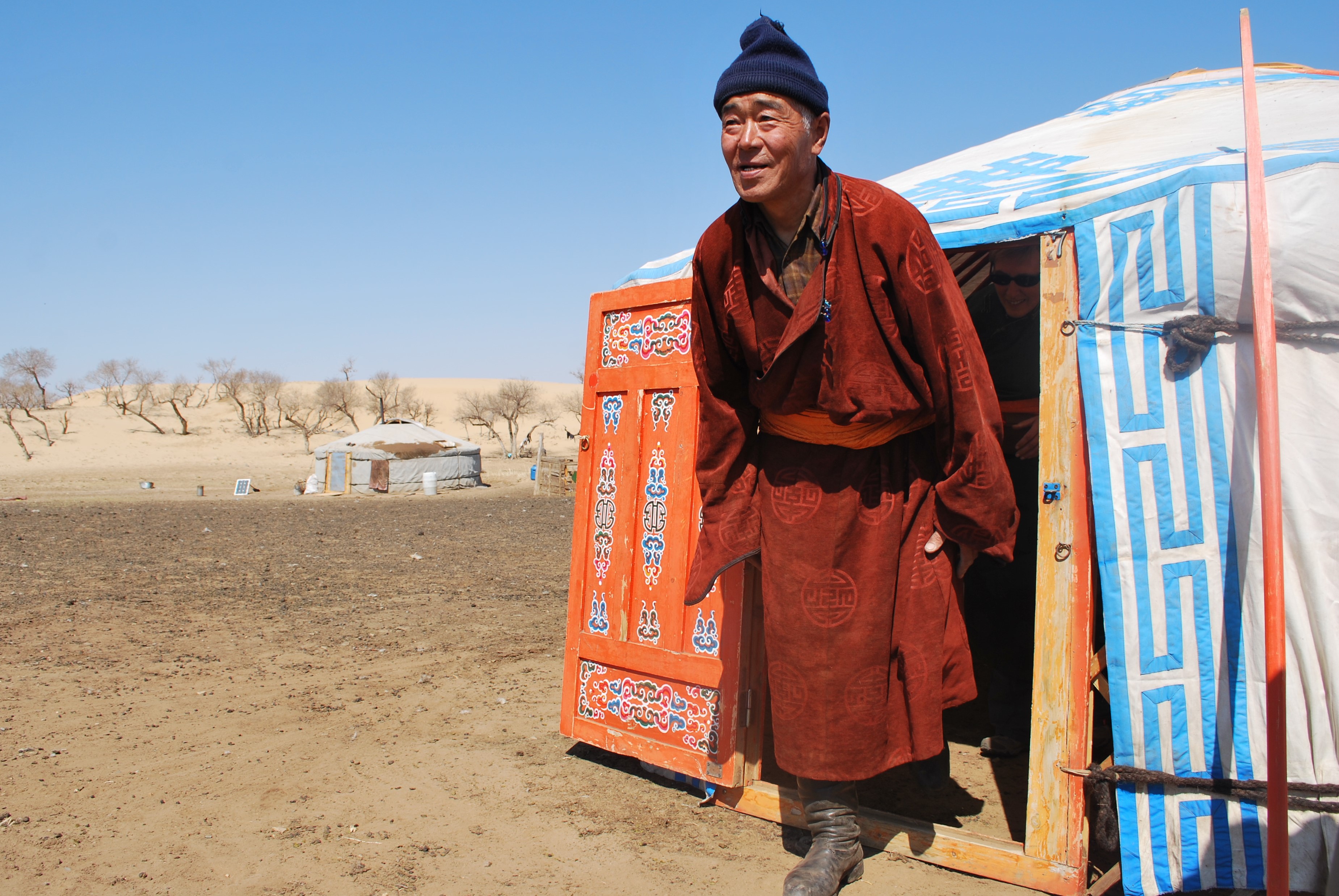
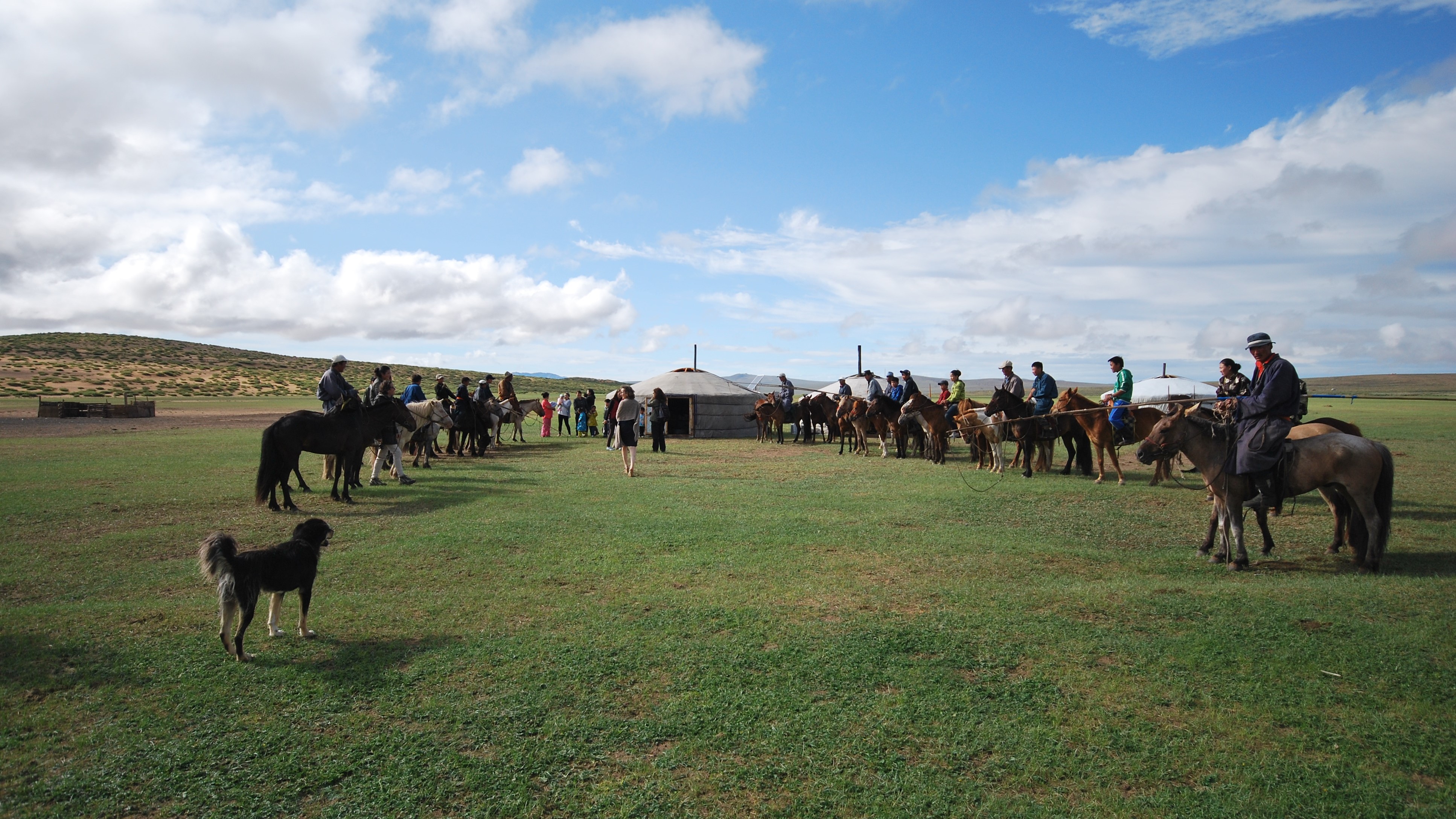
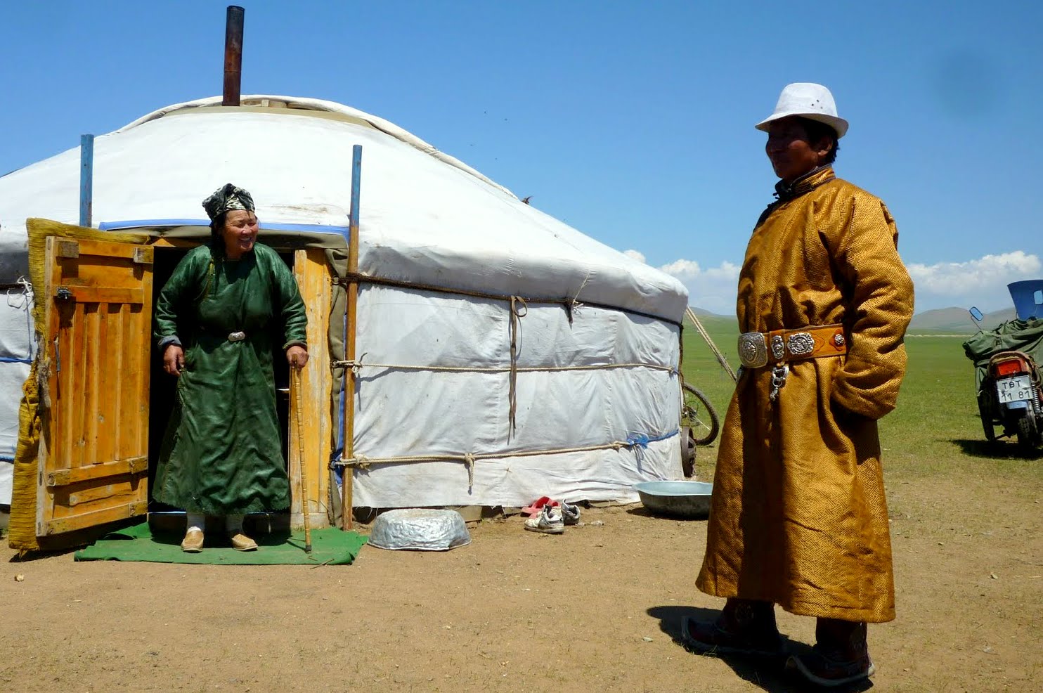
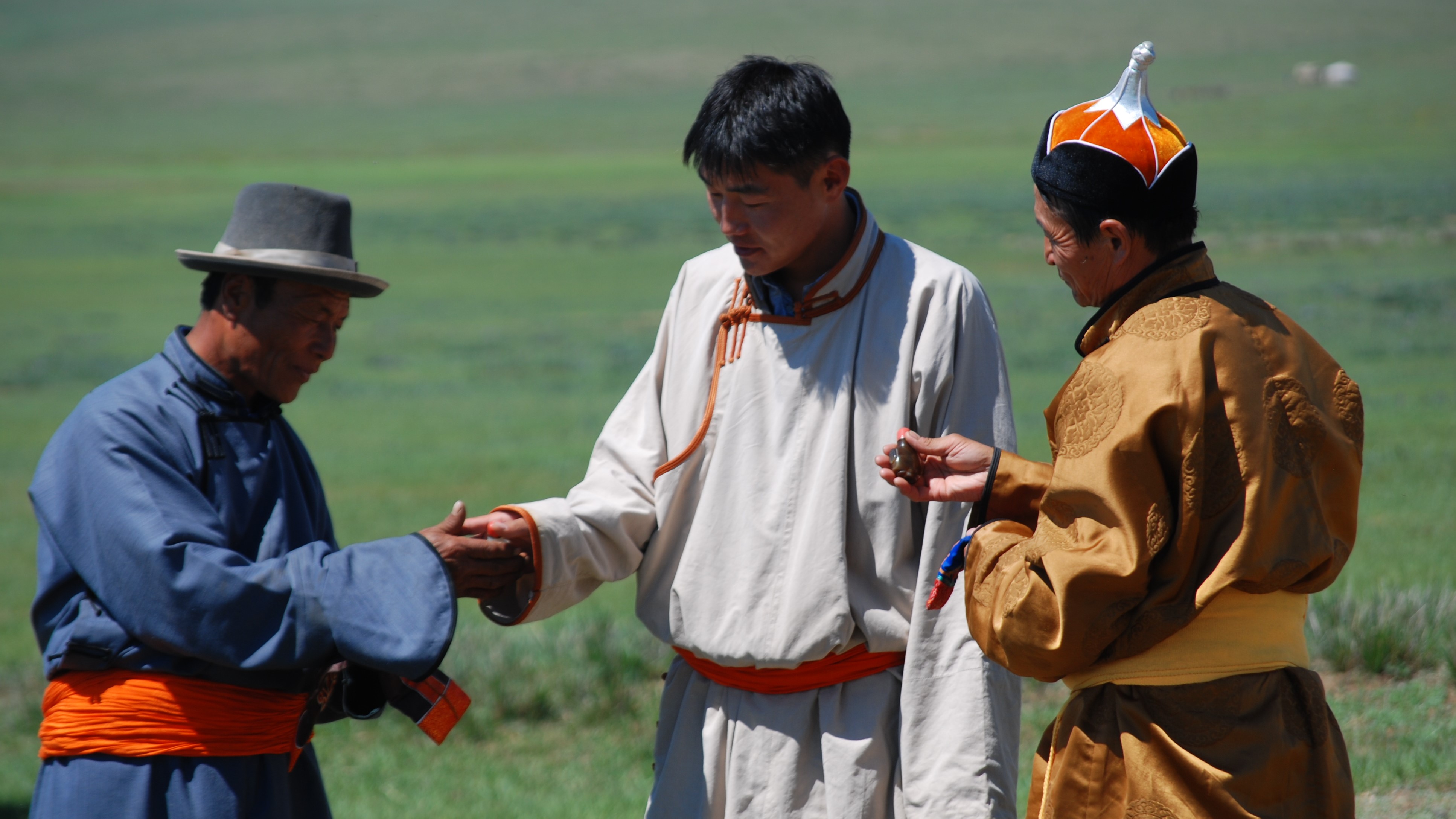
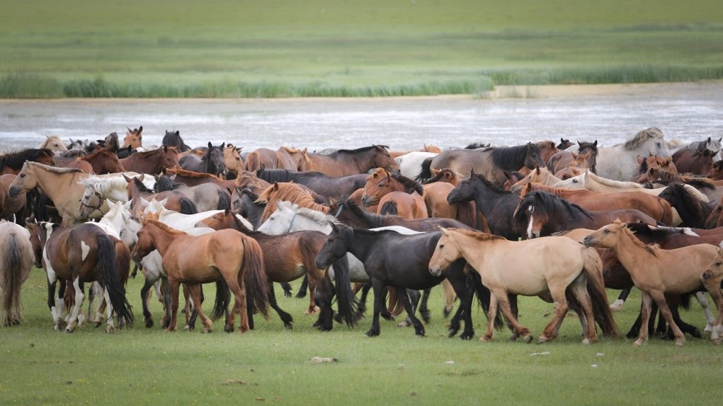
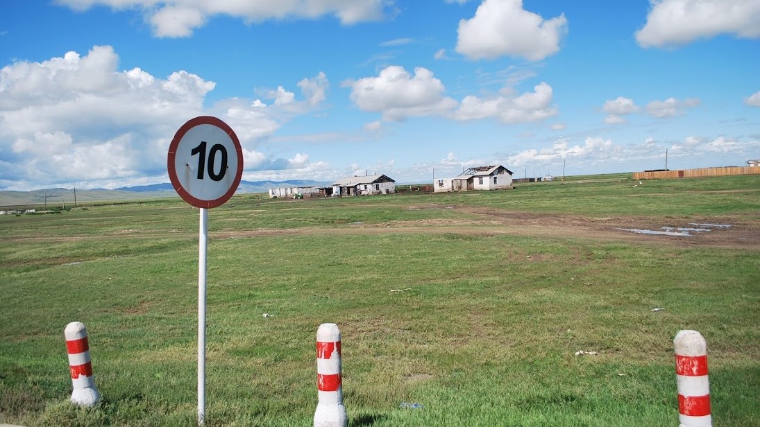
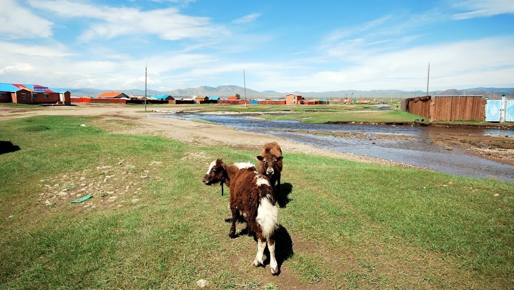
Meet the Nomadic Herders
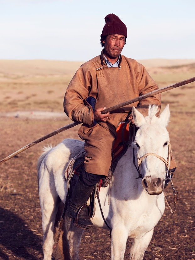
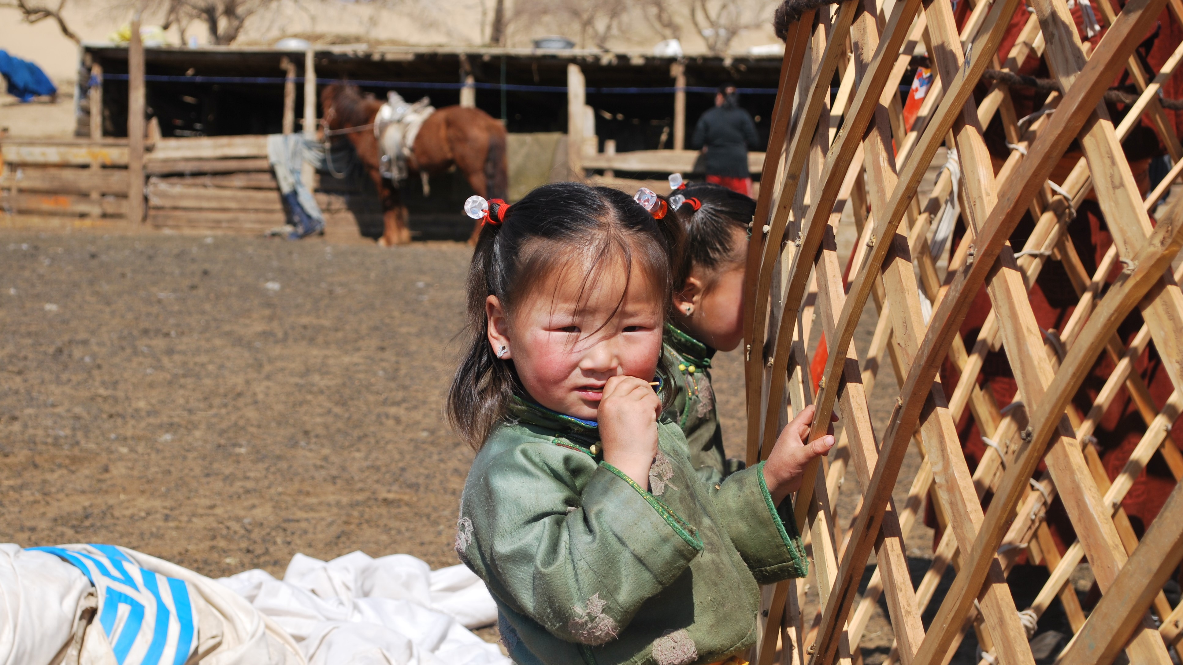
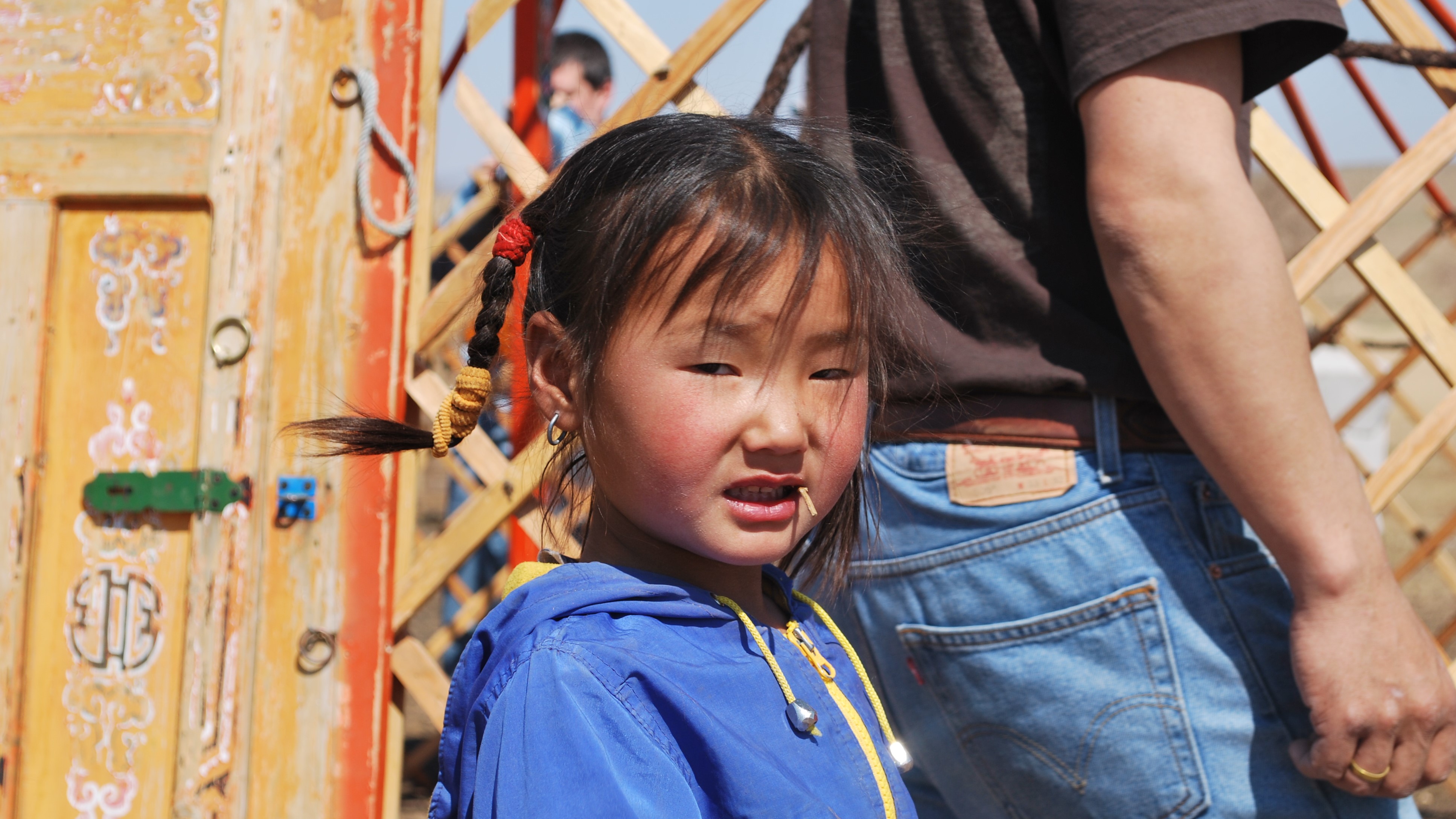
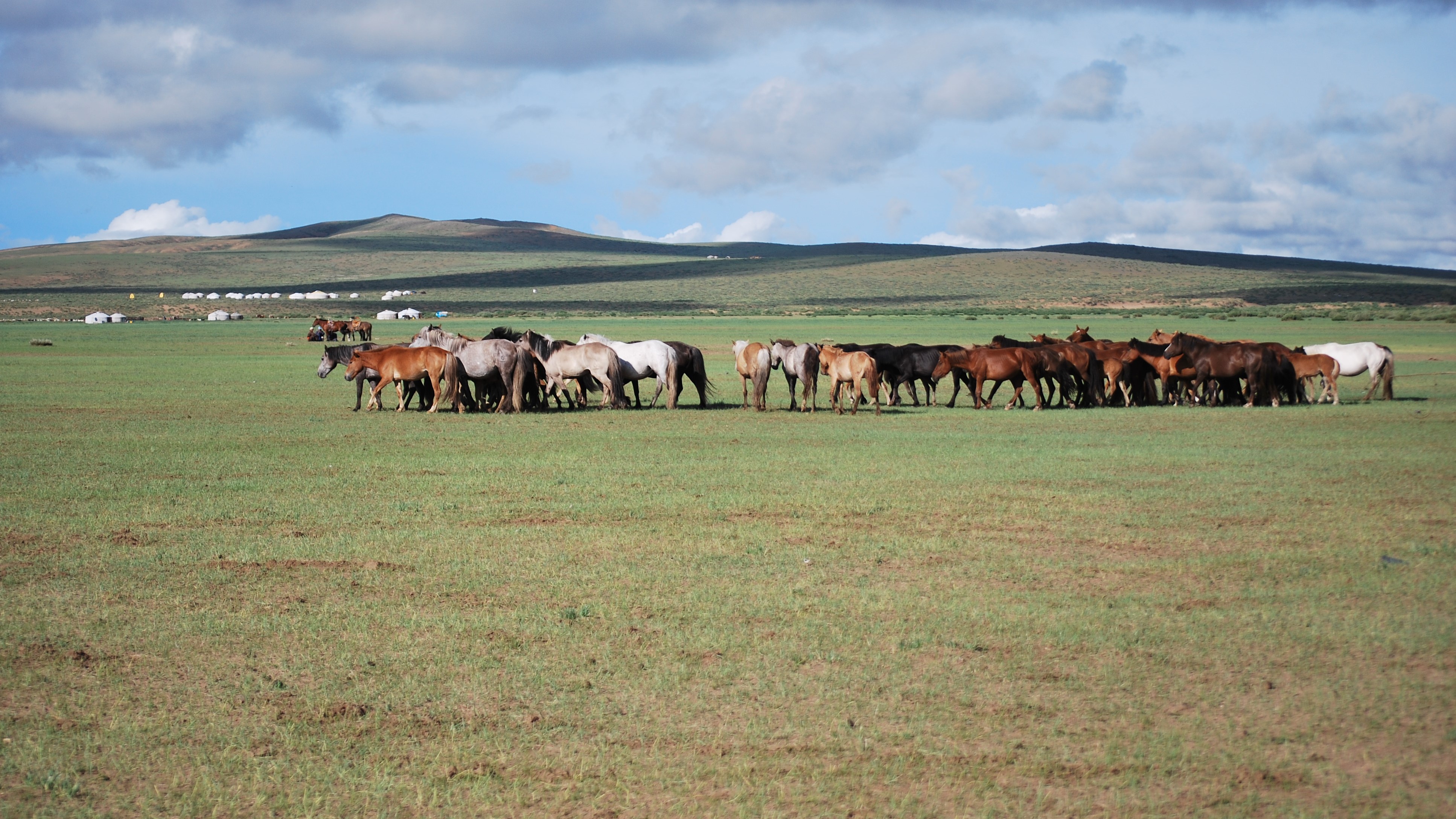
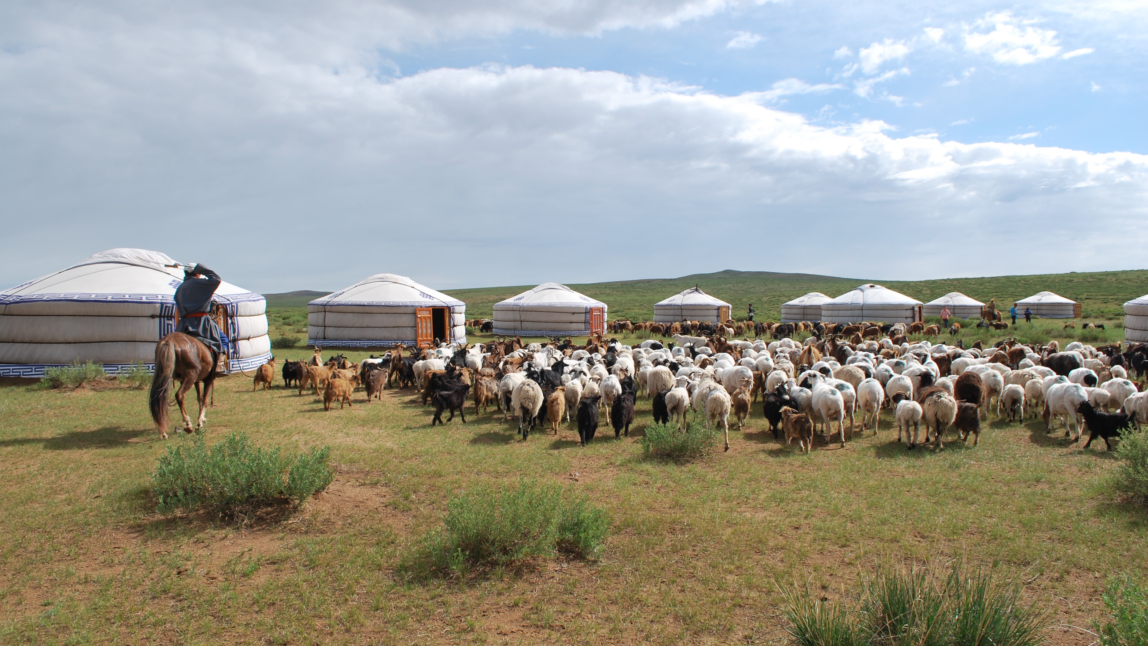
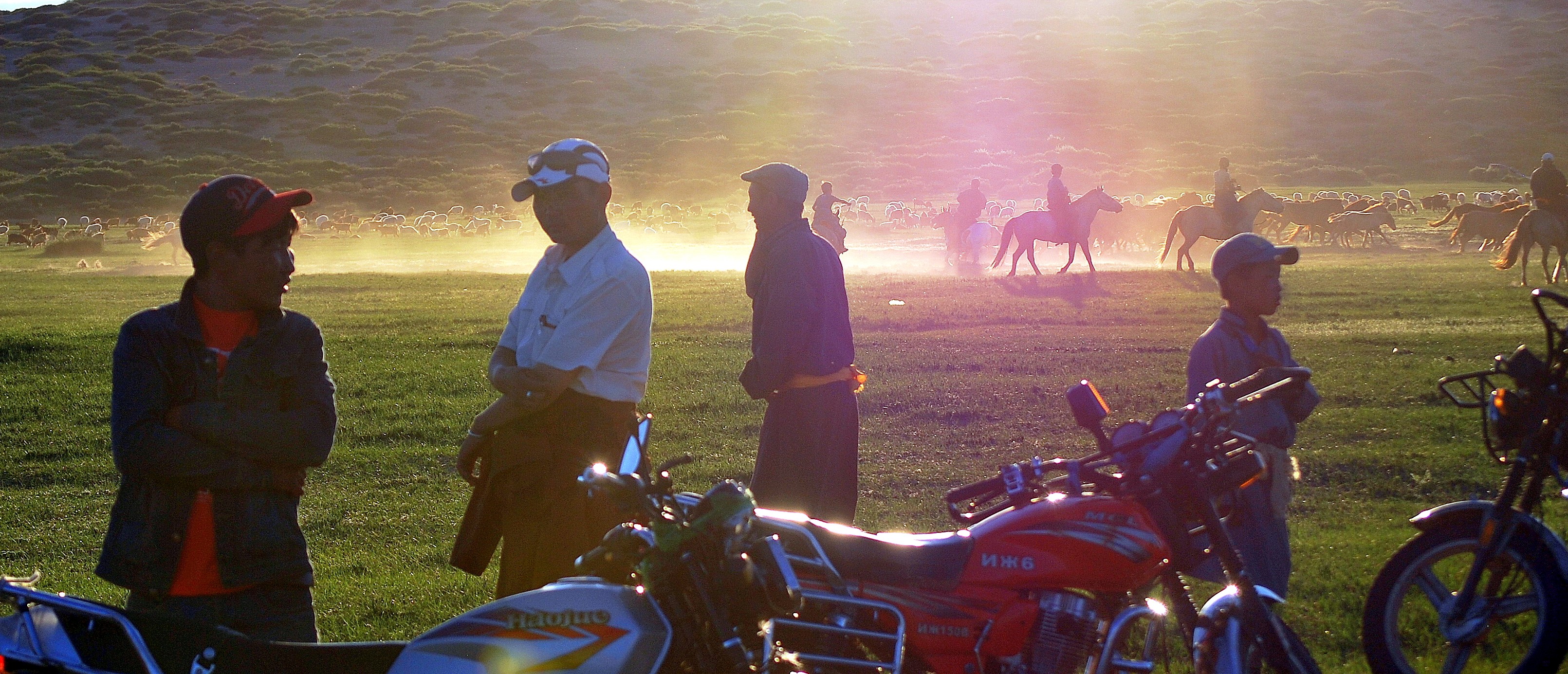
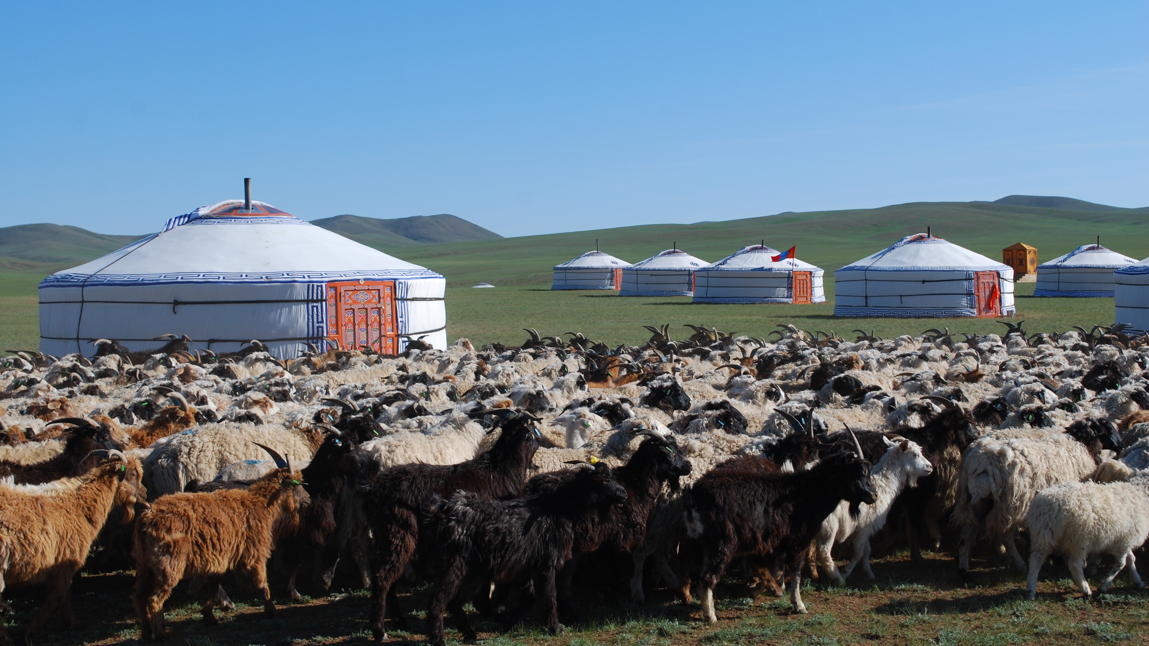
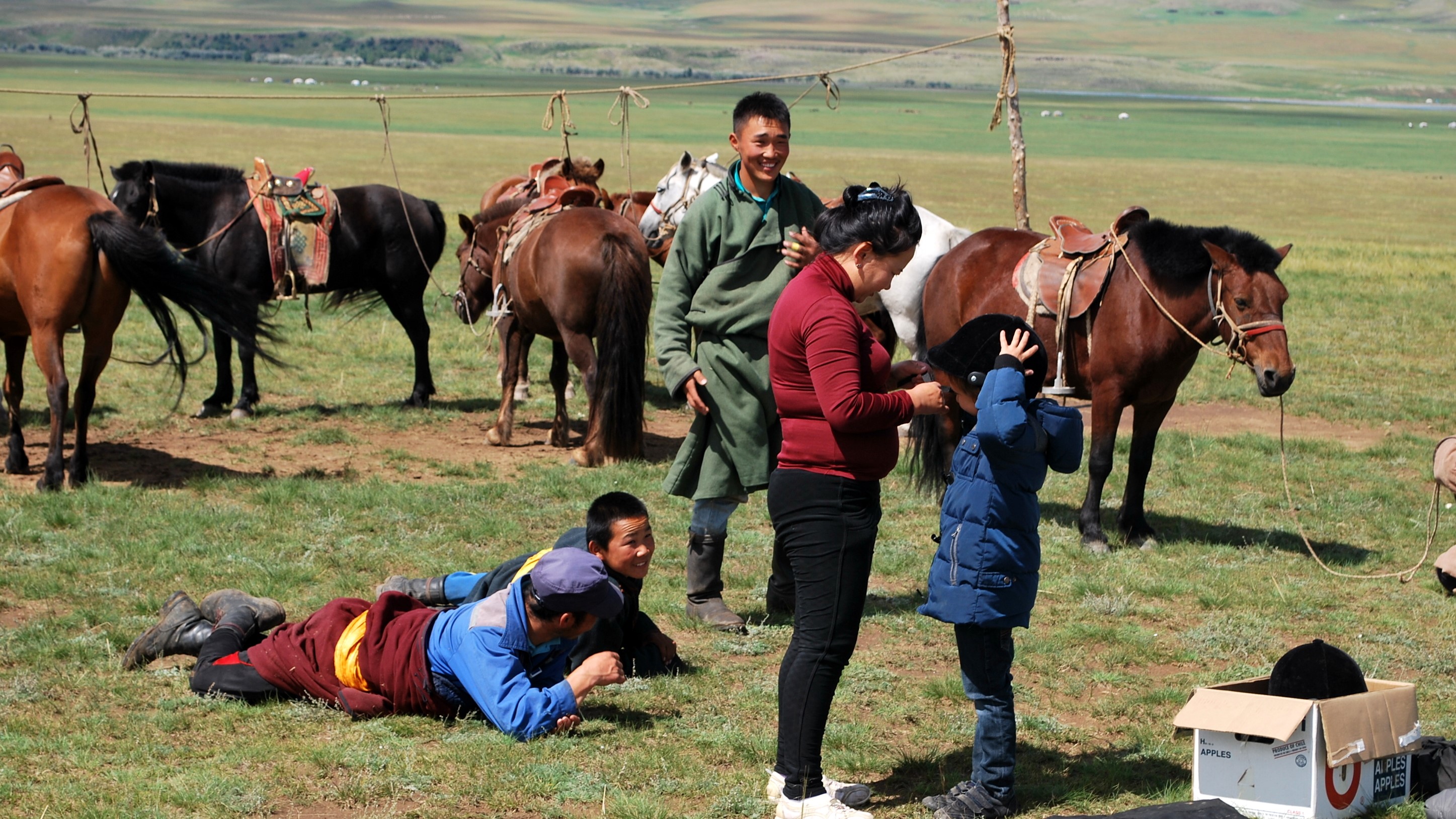
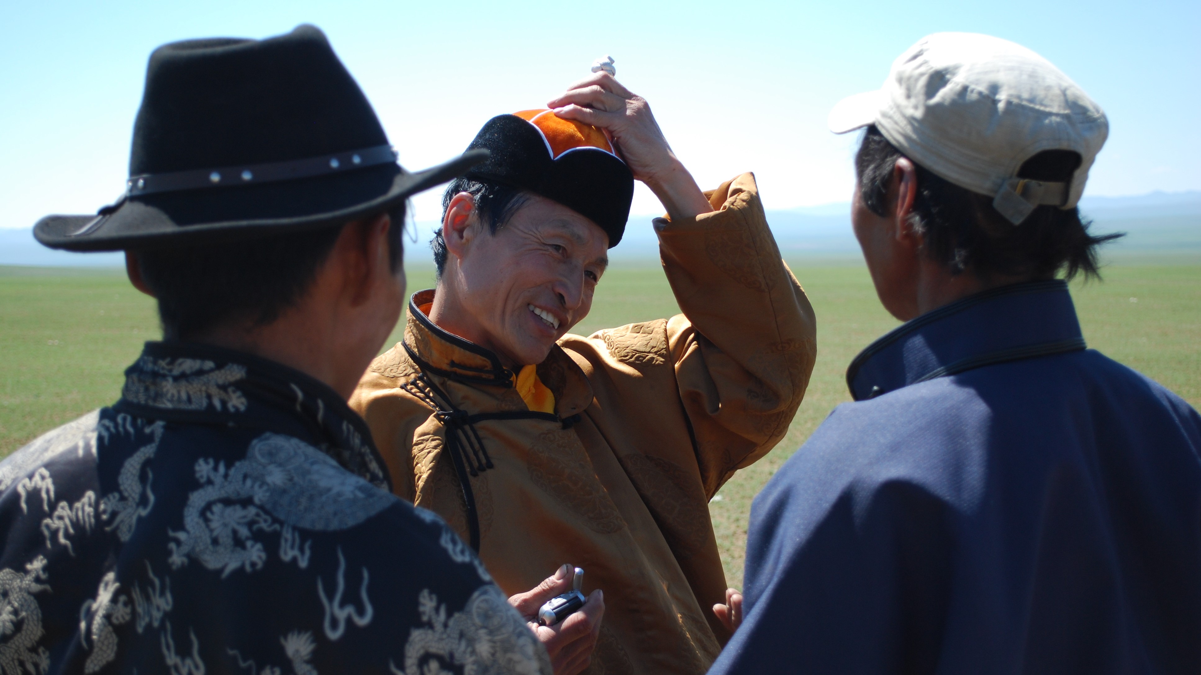
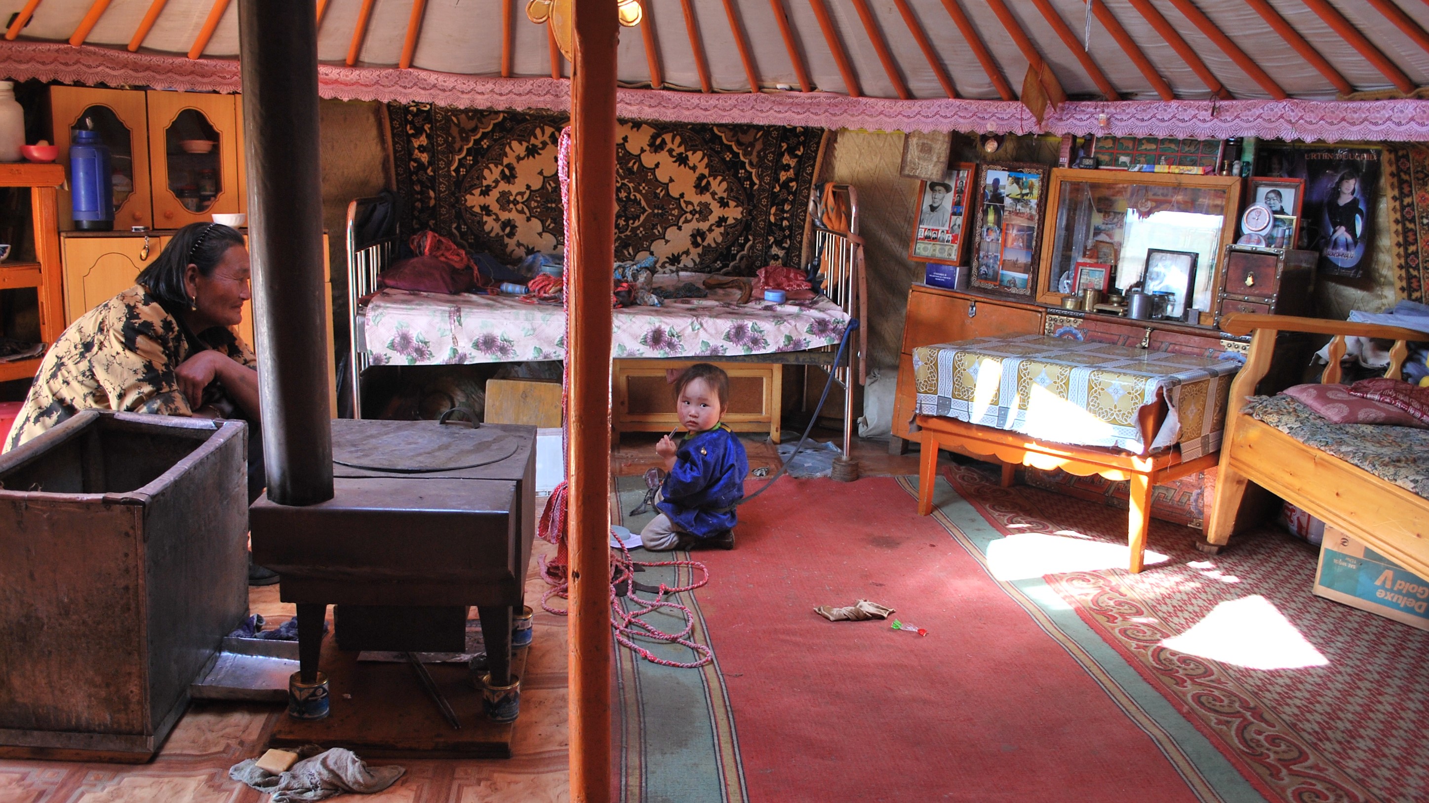
In the country of the five snouts*, taste the way of life of nomadic farmers. Take a break, for a game of jacks, a cup of hot wood-burnt tea, a glass of Airag, and enjoy Mongolian hospitality. Discover the multitude of traditions and a number of necessary skills, such as the preparation of felt, the best insulation material in the world and crucial for survival in the extreme Mongolian winter.
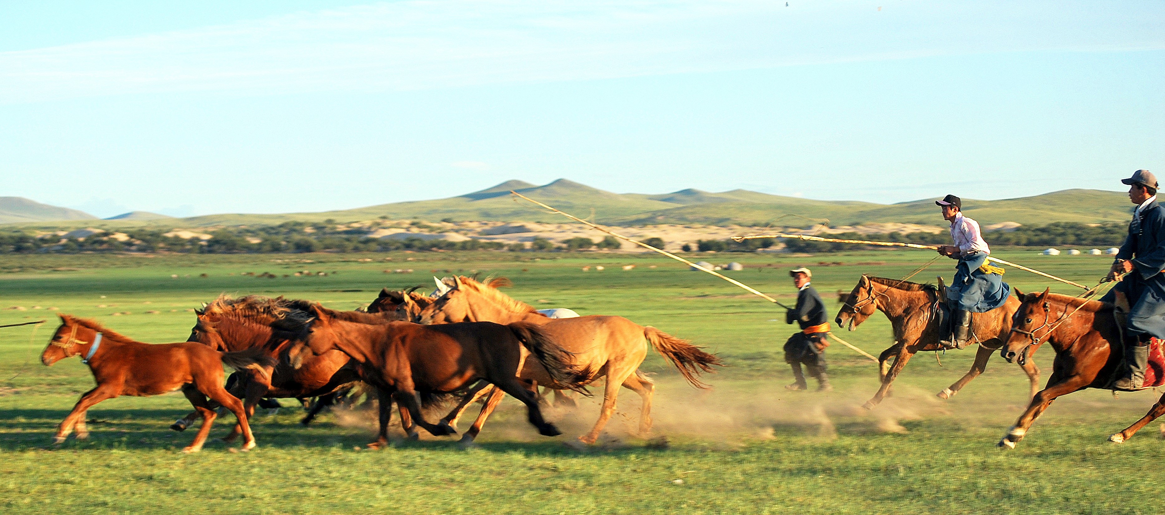
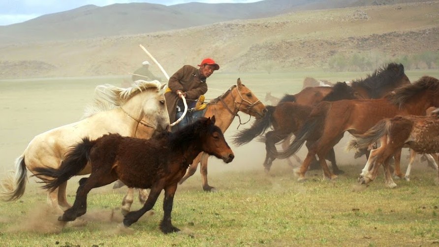
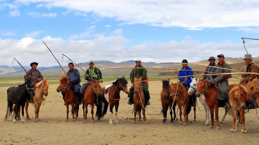
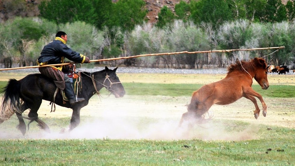
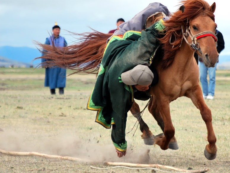
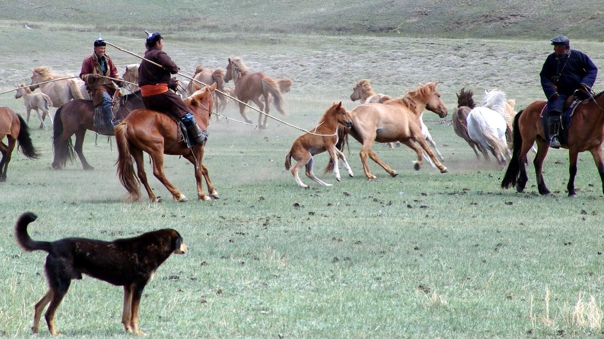
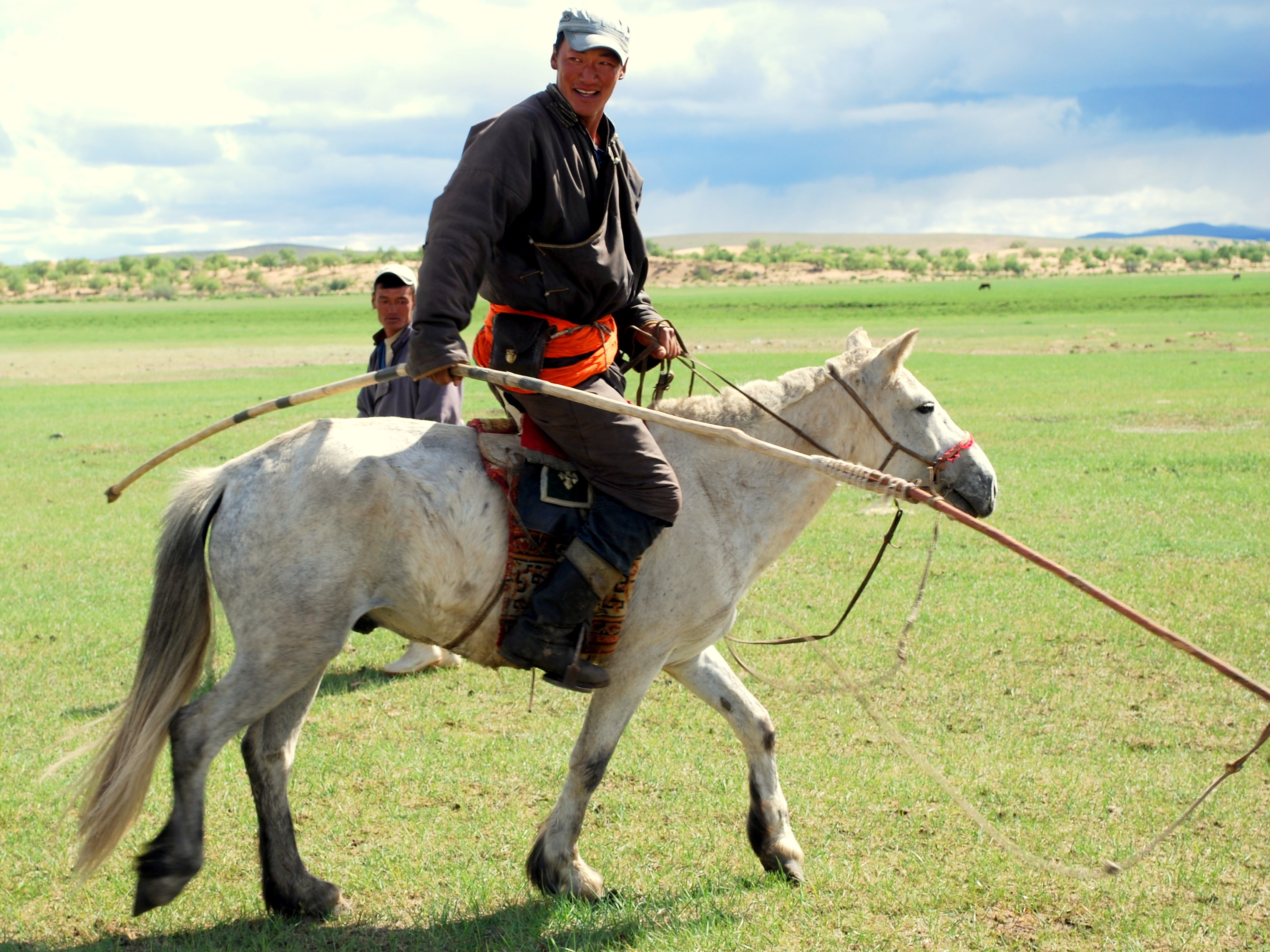
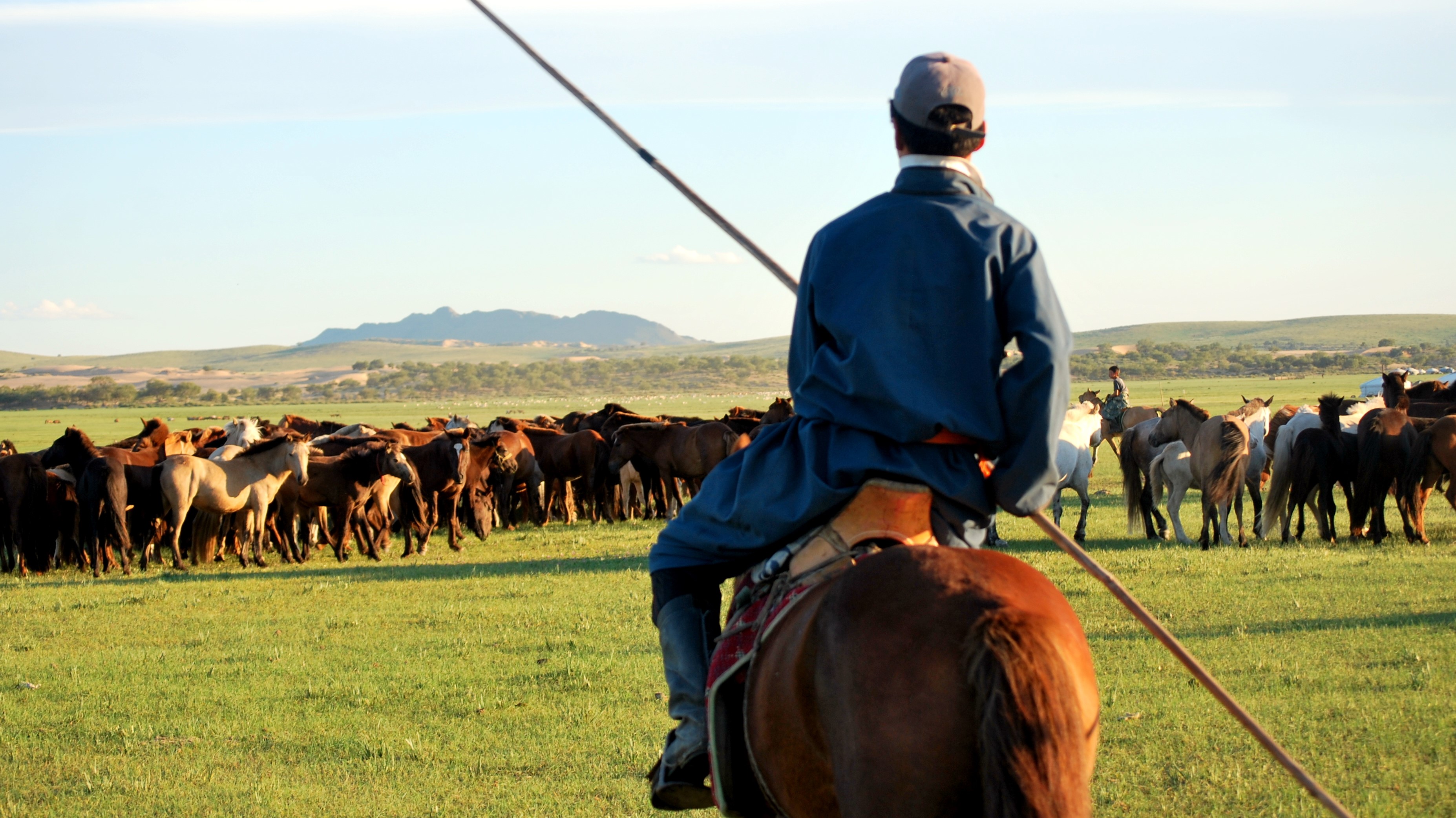
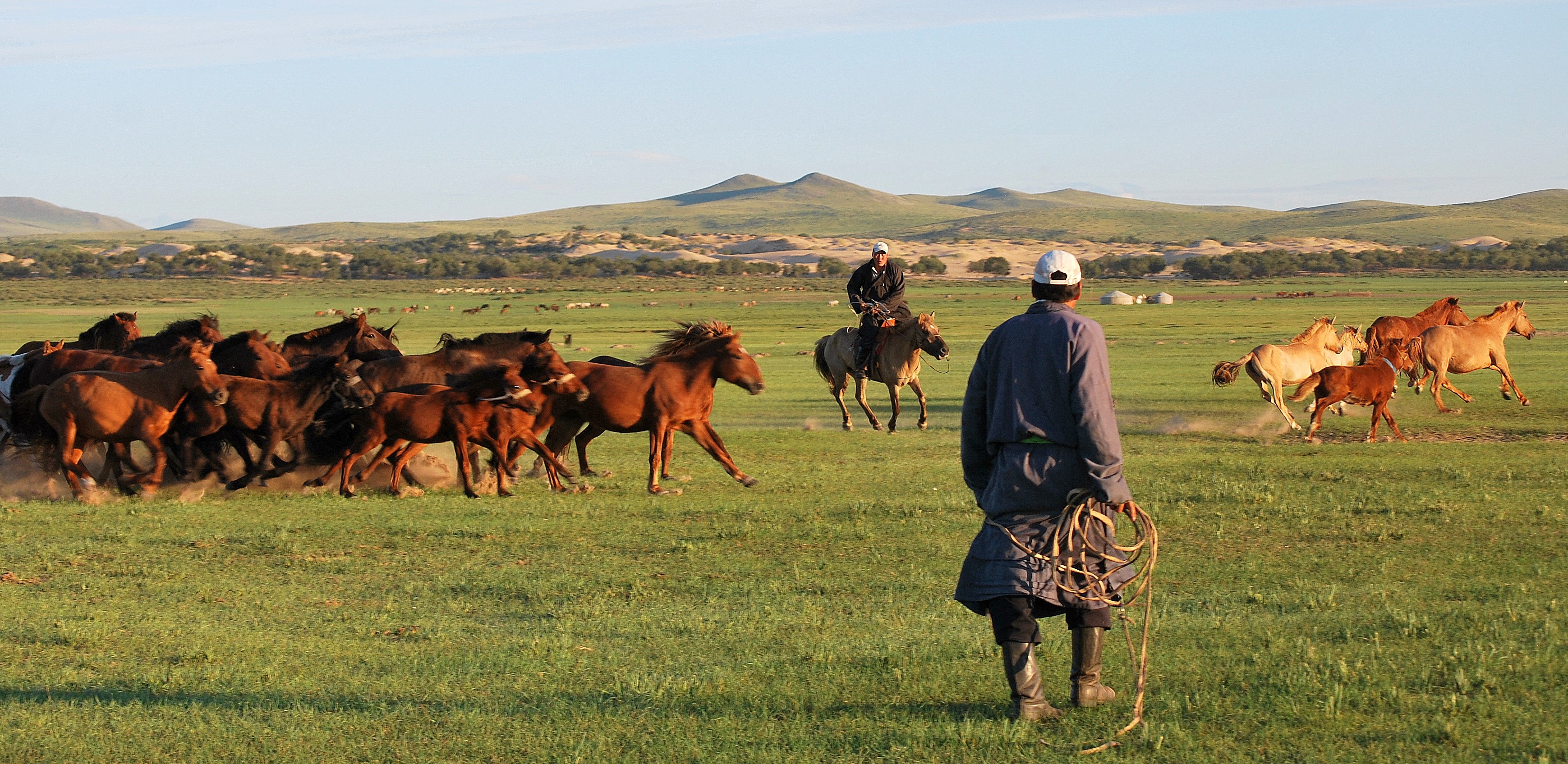
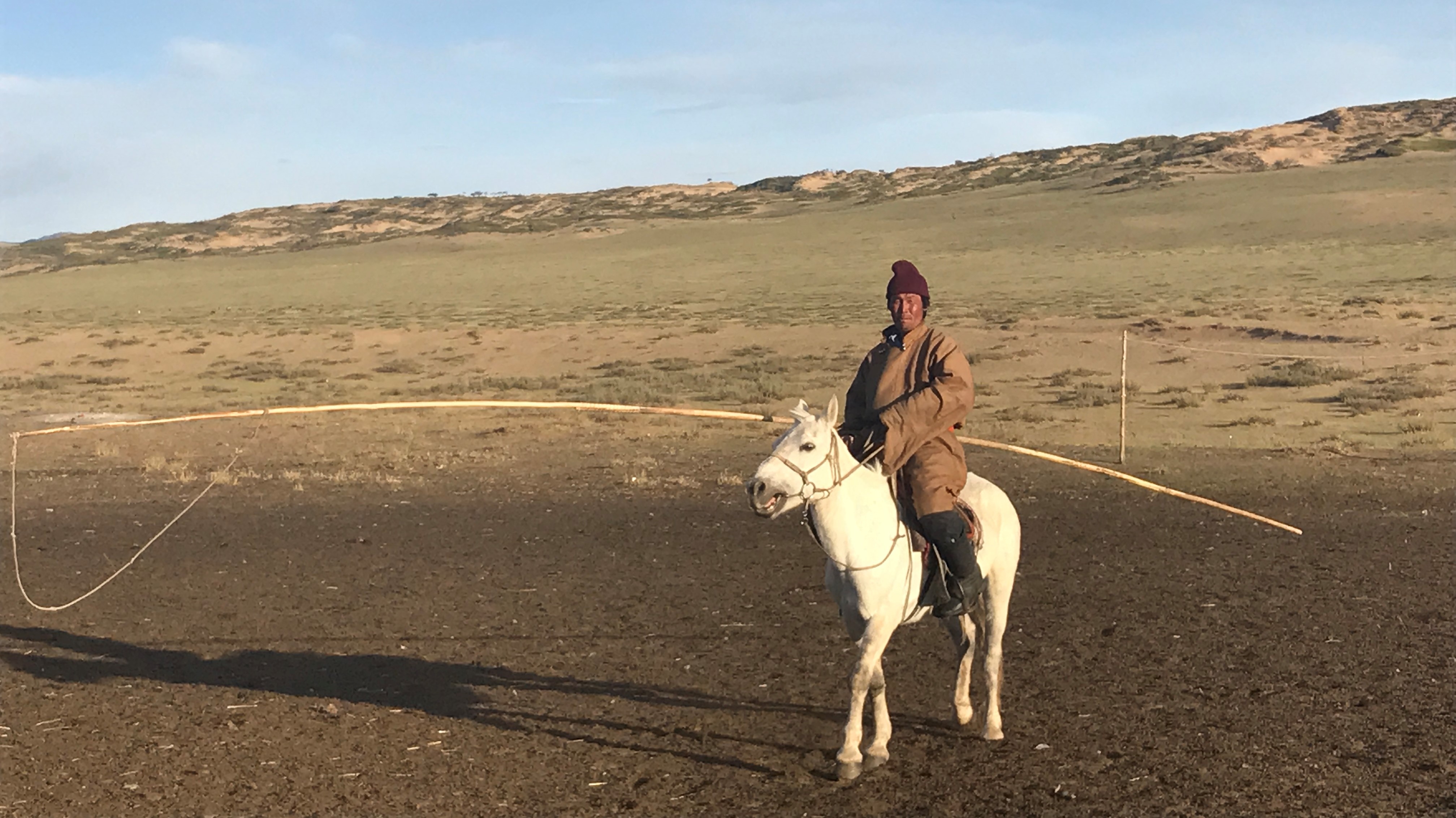
If you feel like it, you can participate in the shearing or milking of the animals when the flocks gather. And be prepared to be amazed by Mongolian horsemanship. If you ask them, the Mongolian herders / riders will not hesitate to show you the capture of the Urga**, an art in which they excel.
For those who have the soul of a builder, ask for an initiation to the assembly of a yurt. For those who appreciate culinary experiences, do not leave before you have prepared and tasted some fritters (Hushuur, boorstog) and raviolis (buuz), the most typical Mongolian dishes.
NOTES/
* sheep, goats, horses, camels and bovine (cows, yaks – introduced in the 5th century, and khainag – a yak/bovine breed)
** wooden pole with a lasso hanging at its end


Discover Fauna & Flora
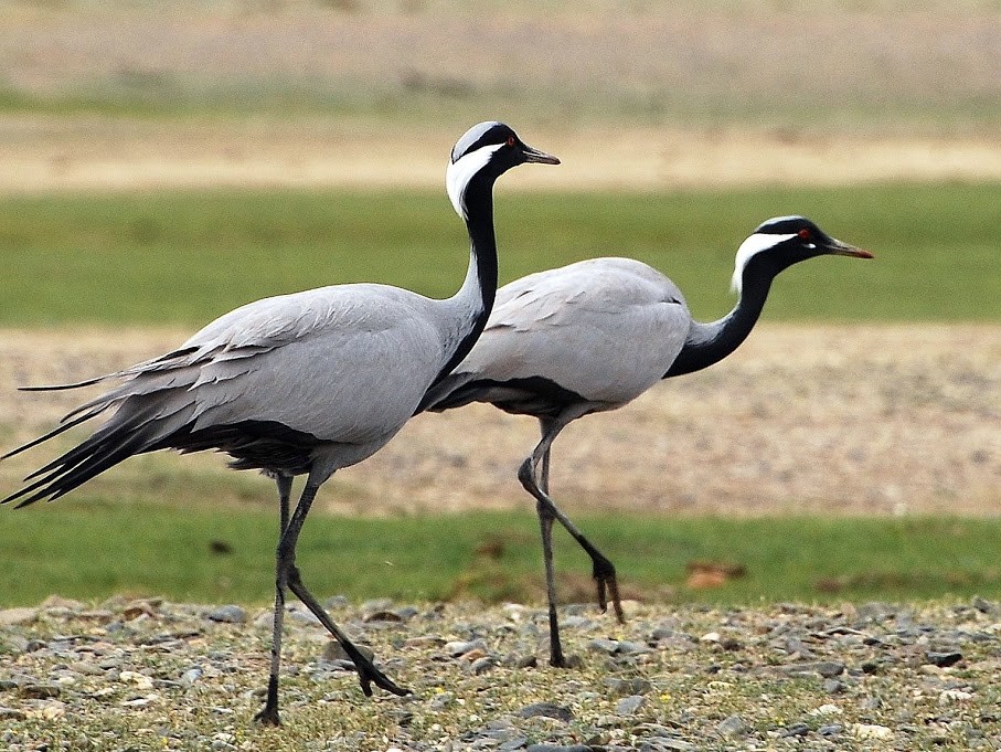
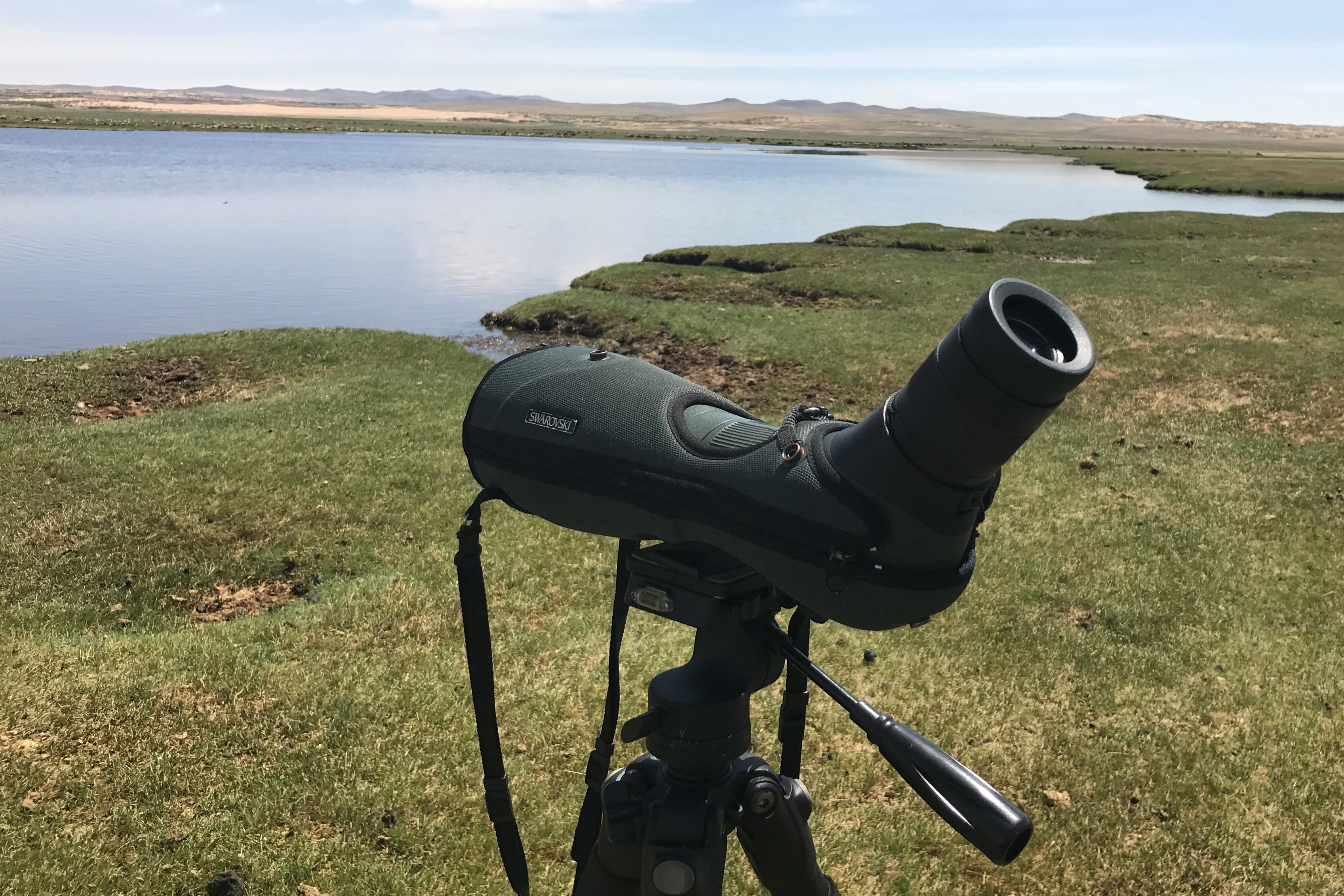
From the Sweet Gobi Geolodge, under the most beautiful star ceiling (300 days of sun per year and no light pollution), you may star gaze in complete peace with our Swarowski telescope, free of charge at your disposal. During the day, you may enjoy bird watching or observe fauna and flora at both long and short distance (from 3m), and this at all times since the telescope supplies a very beautiful image contrast even during strong luminosity. Light (295g) and stable, the telescope possesses a wide angle lens covering a field of vision from 42 to 100 metres. You will be able to admire the majestic flight of the black vulture or of the sandhill crane, one of the few birds able to fly at an altitude of over 8000 m to migrate and reach India over the Himalayas! The Batkkhan Uul Reserve, located a few kilometres away from Sweet Gobi, shelters also some other species like the black grouse, the eastern red rooted falcon or the red deer.
For more details, we recommend you to consult the website of Wild Life Science and Conservation Center with whom we will be working very soon on a census project.
![]() Our Map System: 47°08’06”N 104°12’10”E
Our Map System: 47°08’06”N 104°12’10”E


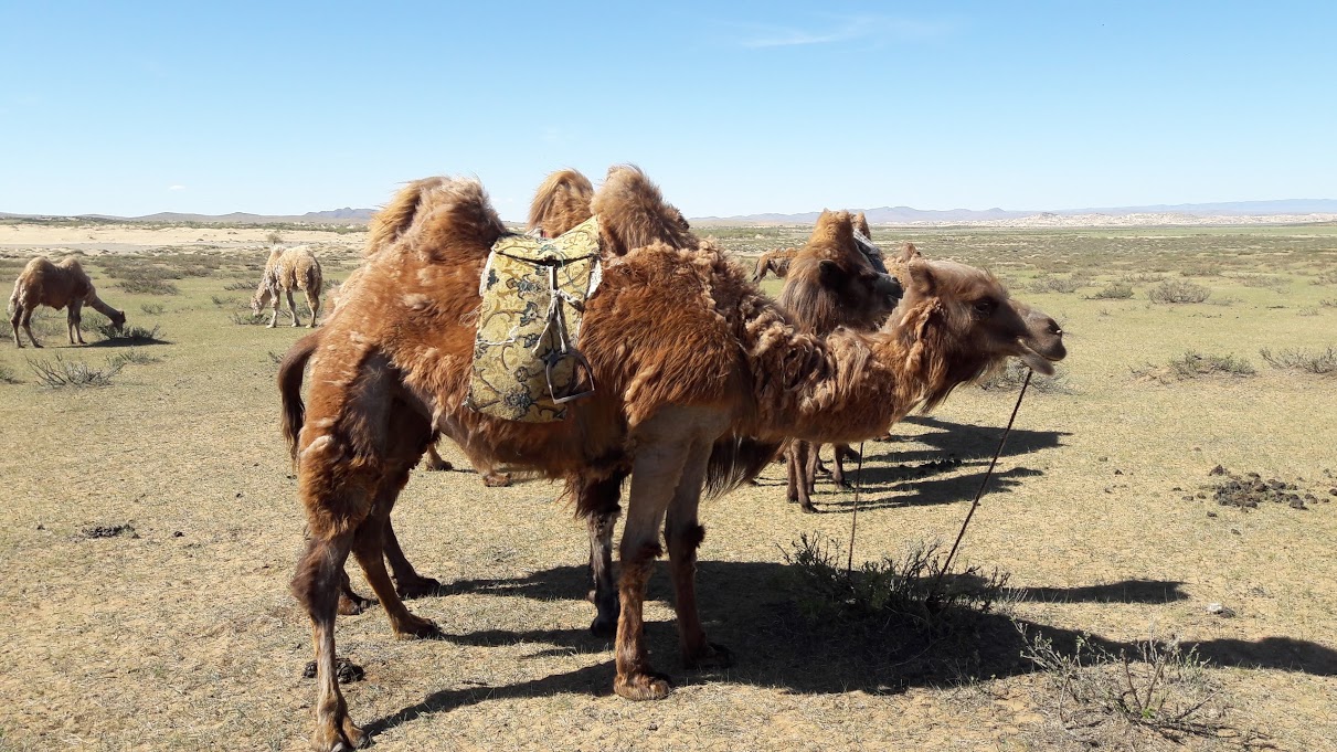
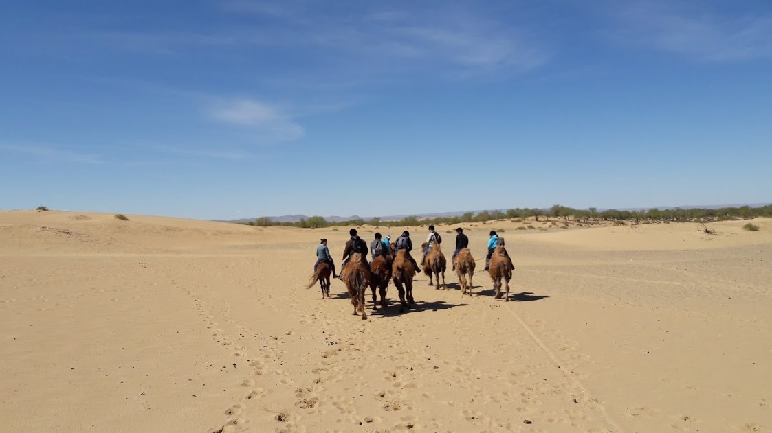
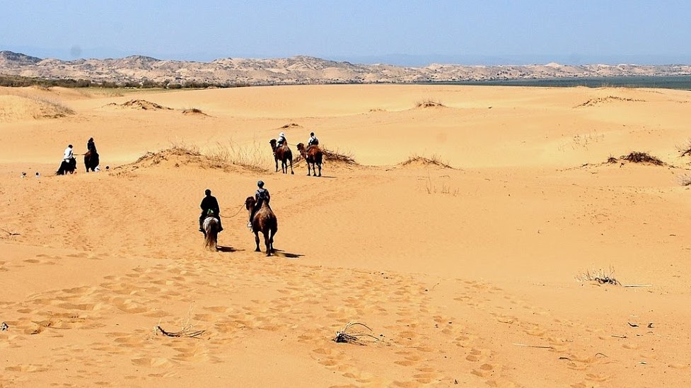
Camel Ride in the Elsen Tasarkhai Dunes
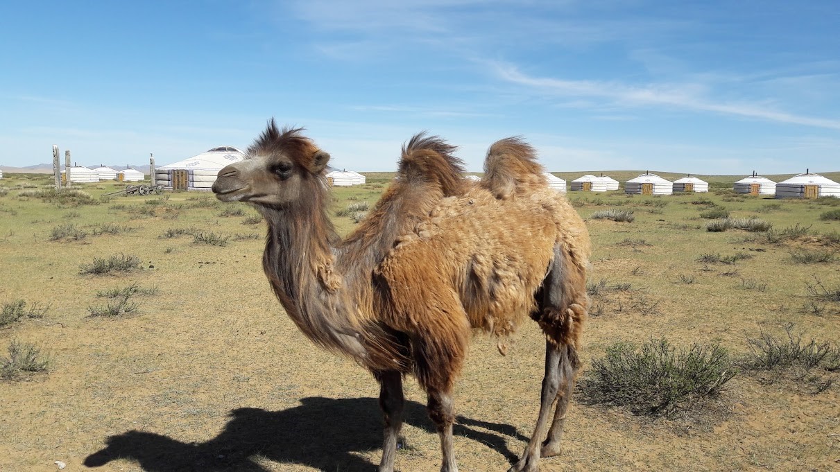
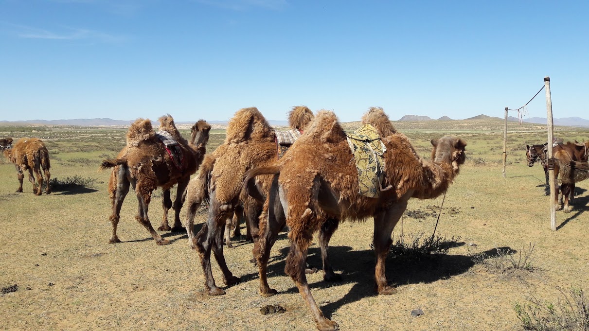
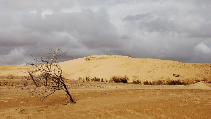
A few steps from Sweet Gobi, the “fragmented dune” of Elsen Tasarkhai* stretches for over dozens of kilometres, one of the 33 “Gobi”, or deserts, of Mongolia. During the months of May and June or even in September, when they are fat and prepared for the winter cold, take a 2-hour ride on the back of the Bactrian camels through this wonderful landscape of sand and stones. In the semi-arid desert, fauna and flora are surprisingly abundant, with juniper being the most symbolic endemic species in these parts. A sacred plant called “arts”, juniper perfumes the dunes with its fragrance. Plucked, grinded and blessed by monks, it is burnt as incense on altars in monasteries and homes of nomadic farmers.
* Elsen tasarkhai: From Els = sand and tasrakh = cut, isolate, separate. It owes its name to the Ulaanbaatar / Karakorum route that cuts the dune in two.
![]() Our Map System: 47°15’11”N 103°54’20”E
Our Map System: 47°15’11”N 103°54’20”E
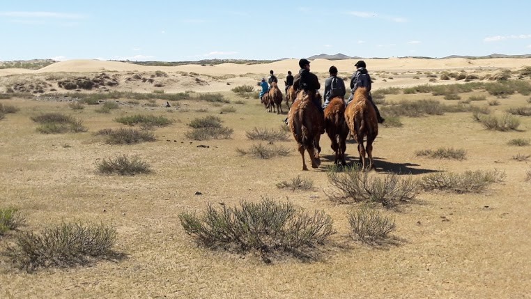


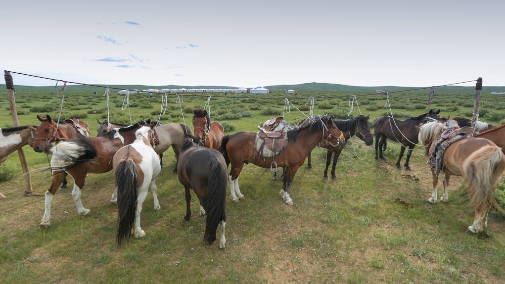
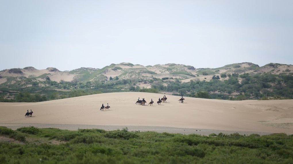
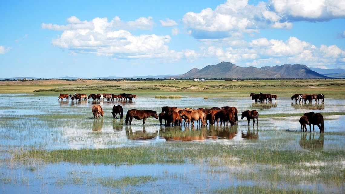
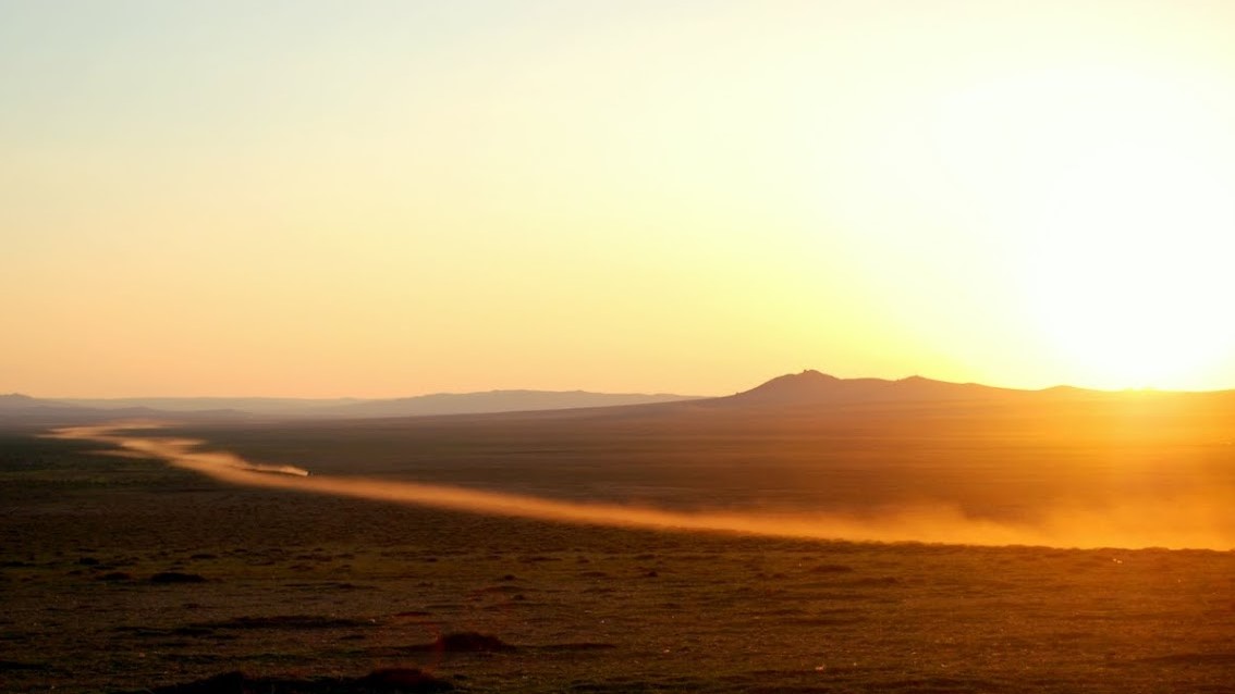
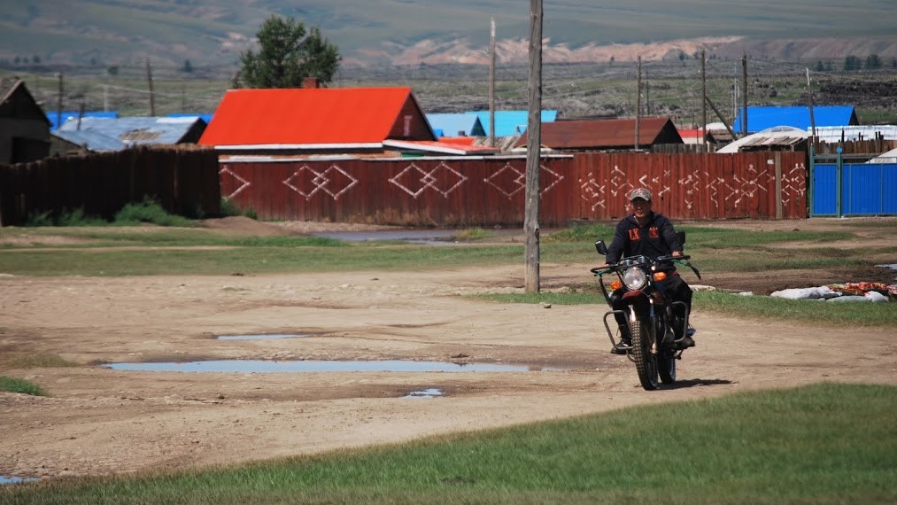
Horseback Riding in the Dunes
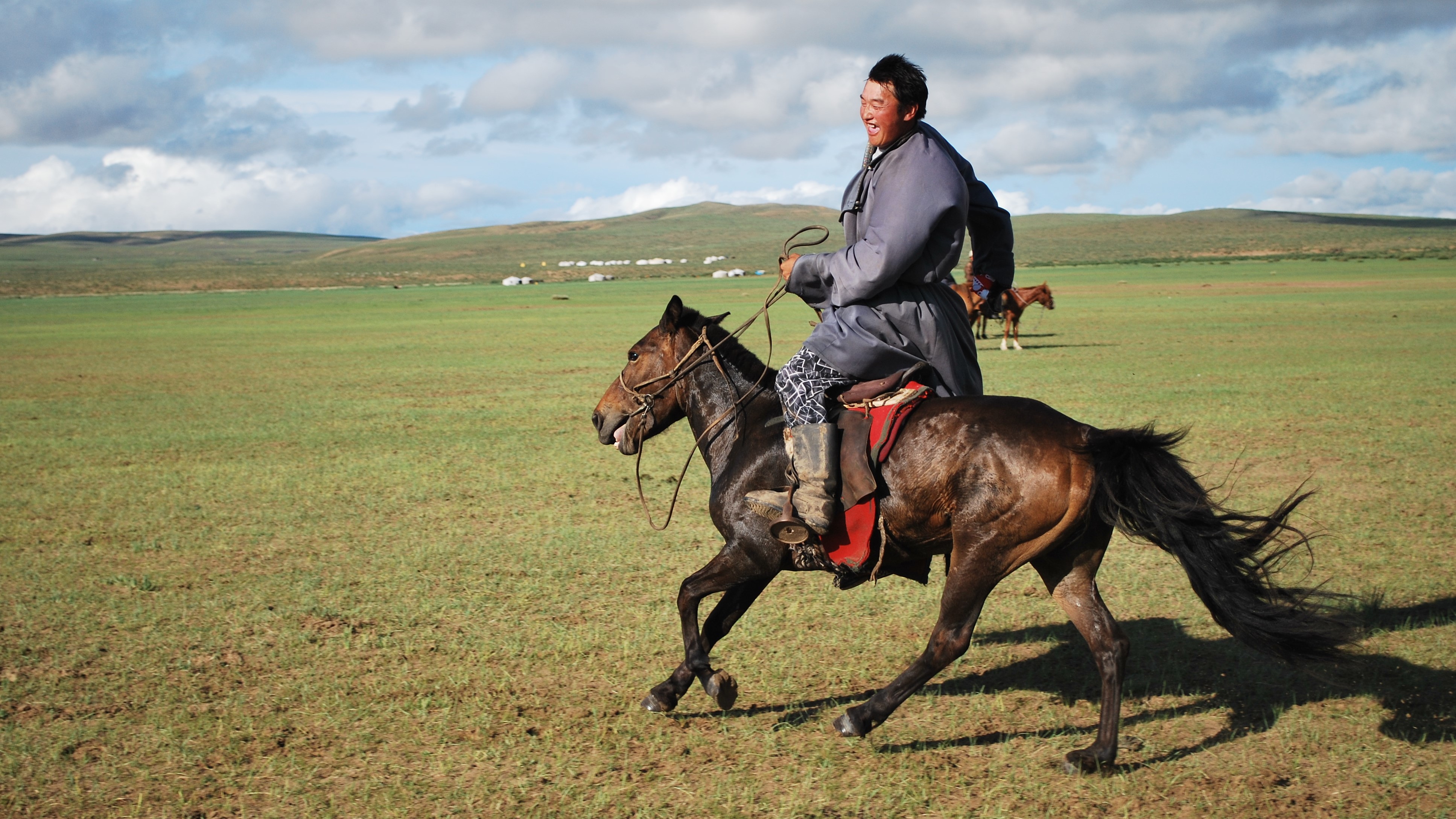
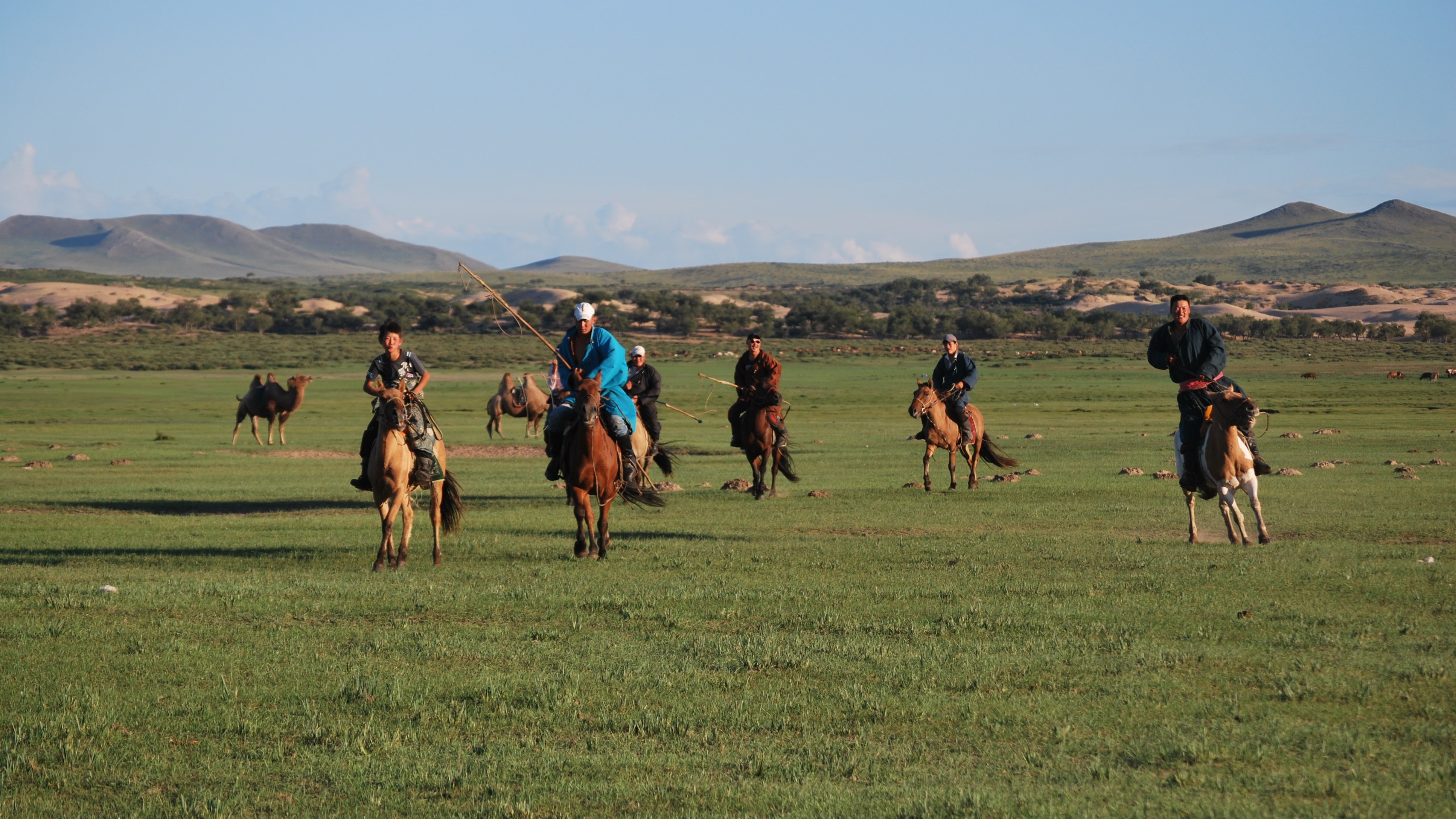
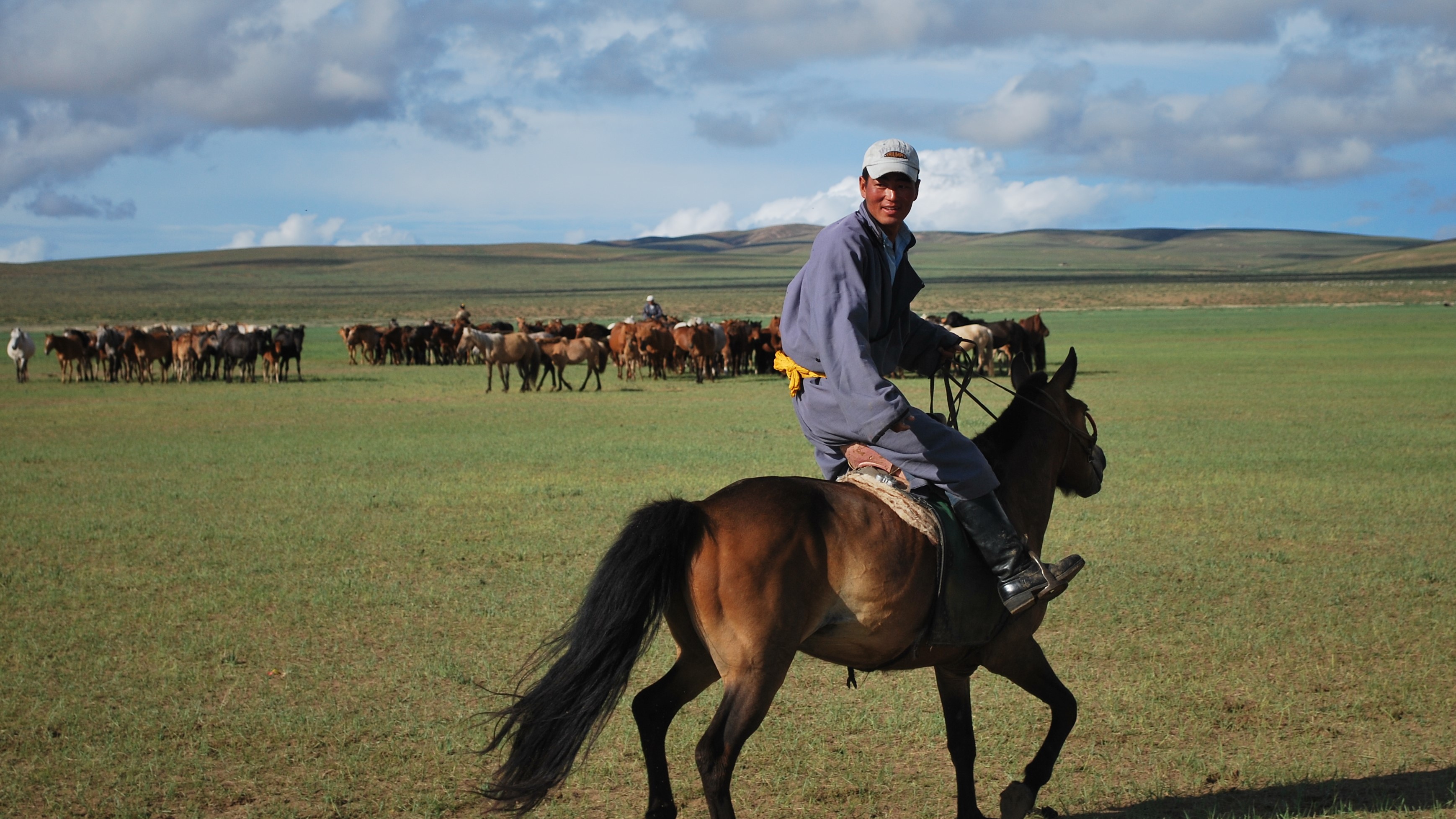
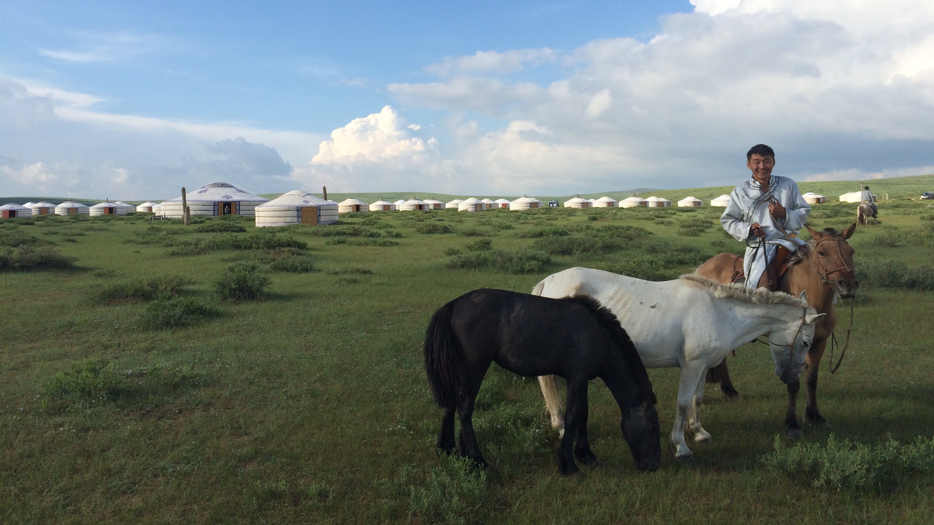
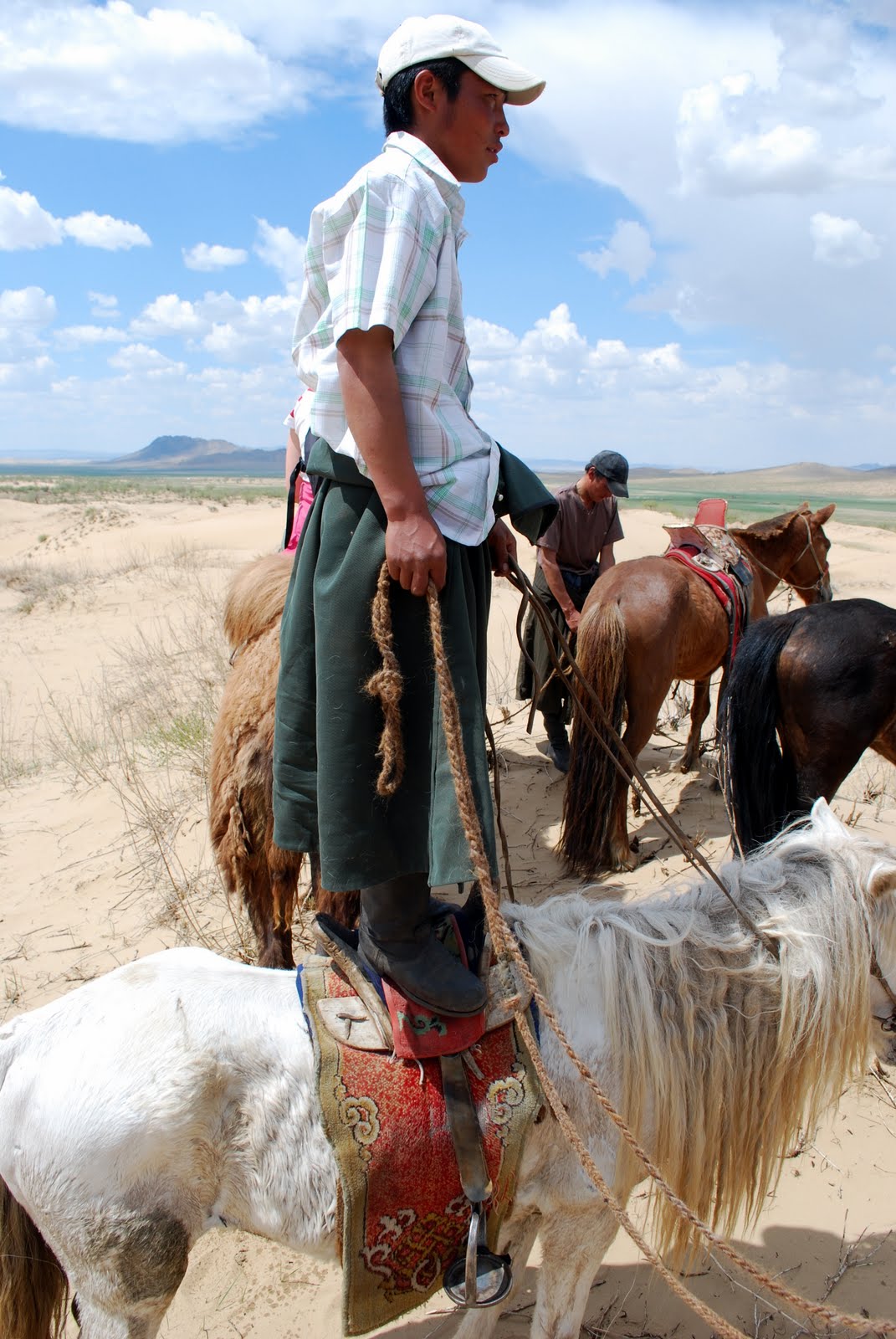
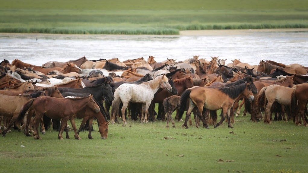
Escorted by the best horsemen in the world, venture for a horse ride to the oasis of Bayan Turuun. At walk or at gallop, depending on your experience, you will get to know the animals that have always been at the heart of Mongolian history. While they race through the steppe, songs are sung to their glory to the rhythmic sound of the bow on the “morin khuur“, a traditional Mongolian string instrument decorated with a horse head. When discussing the horses, the Mongolian language offers thousands of names for them with thousands of nuances. And by talking to the horses, you learn a completely new language! For instance, here, a horseman does not say “Hue” but “Tchuu”…
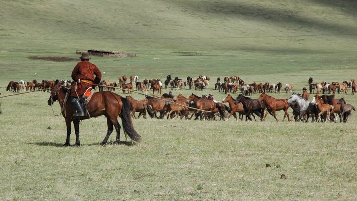
Mongolians ride their horses standing, their feet supported by large stirrups, and to guide the animal, they not only use the reins but the whole weight and balance of their bodies. Joining them, you will lift the sand from the dunes, climbing and descending. And maybe you will be lucky to see their dance-like movements, skillfully orchestrated, when they gather their horses that roam freely across the steppe. The horses must be herded every day so that mares can be milked and foals can be taken care of, and horsemen’s movements are a result of a thousand years of practice and tradition.


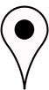

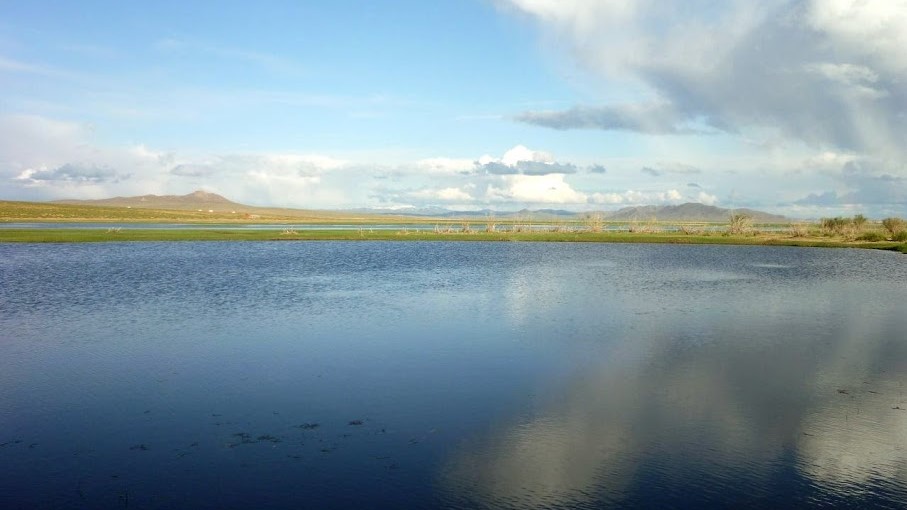
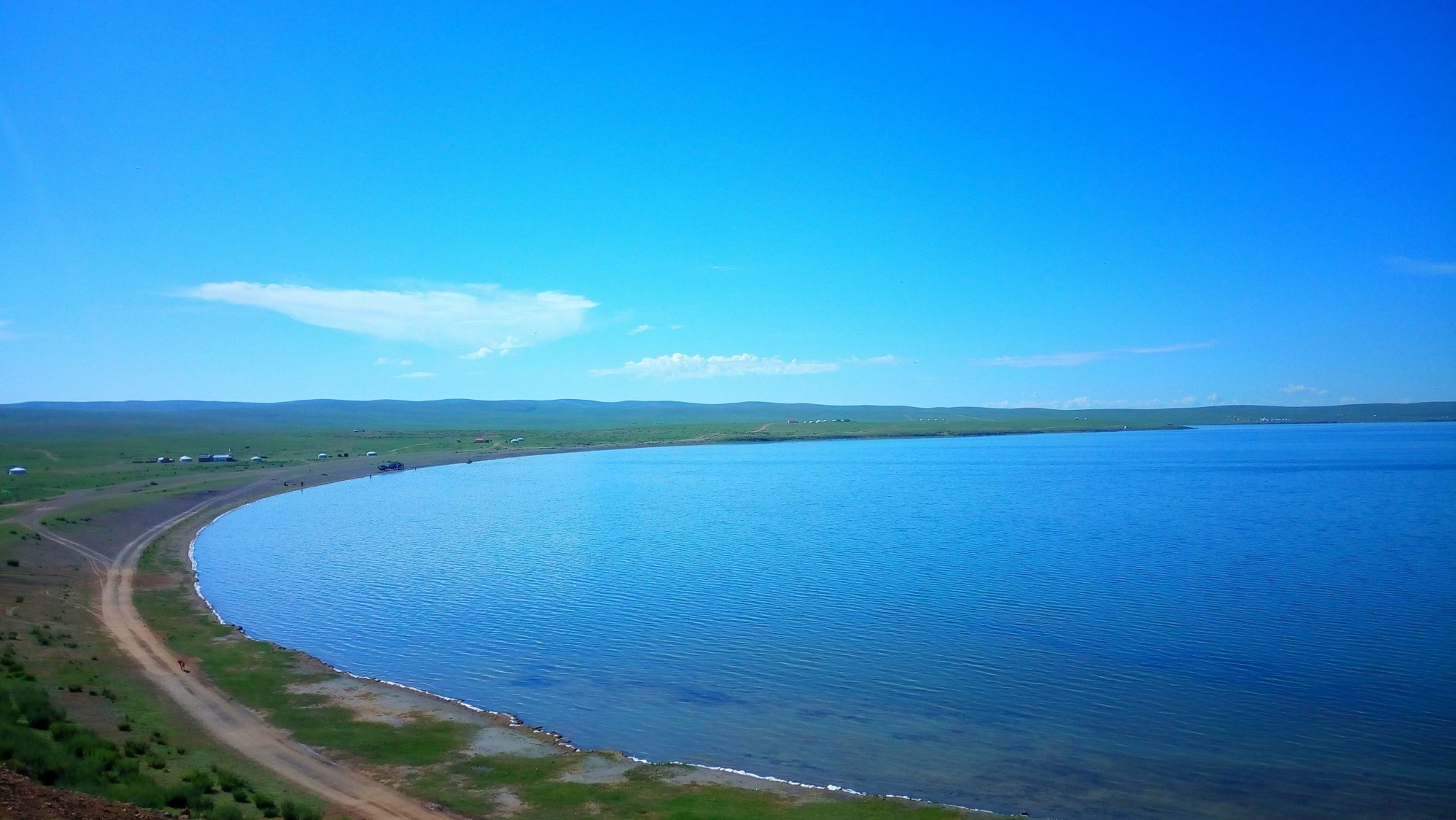
Meditative Walk around Tara Lake / Tara nuur
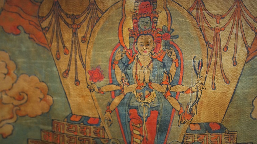
Fauna and flora are resplendent in the lake oasis 8 km away from Sweet Gobi at the foot of Mount Shiluut (1520m) and under the watchful eye of Tara, the mother of creation. This Buddhist divinity is revered by Mongolians since the end of the 16th century. Buddhism was instituted as state religion in 1260 by Kublai Khan, and under Altan Khan’s influence, it gradually left the aristocratic sphere to win the attachment of the Mongolian people.
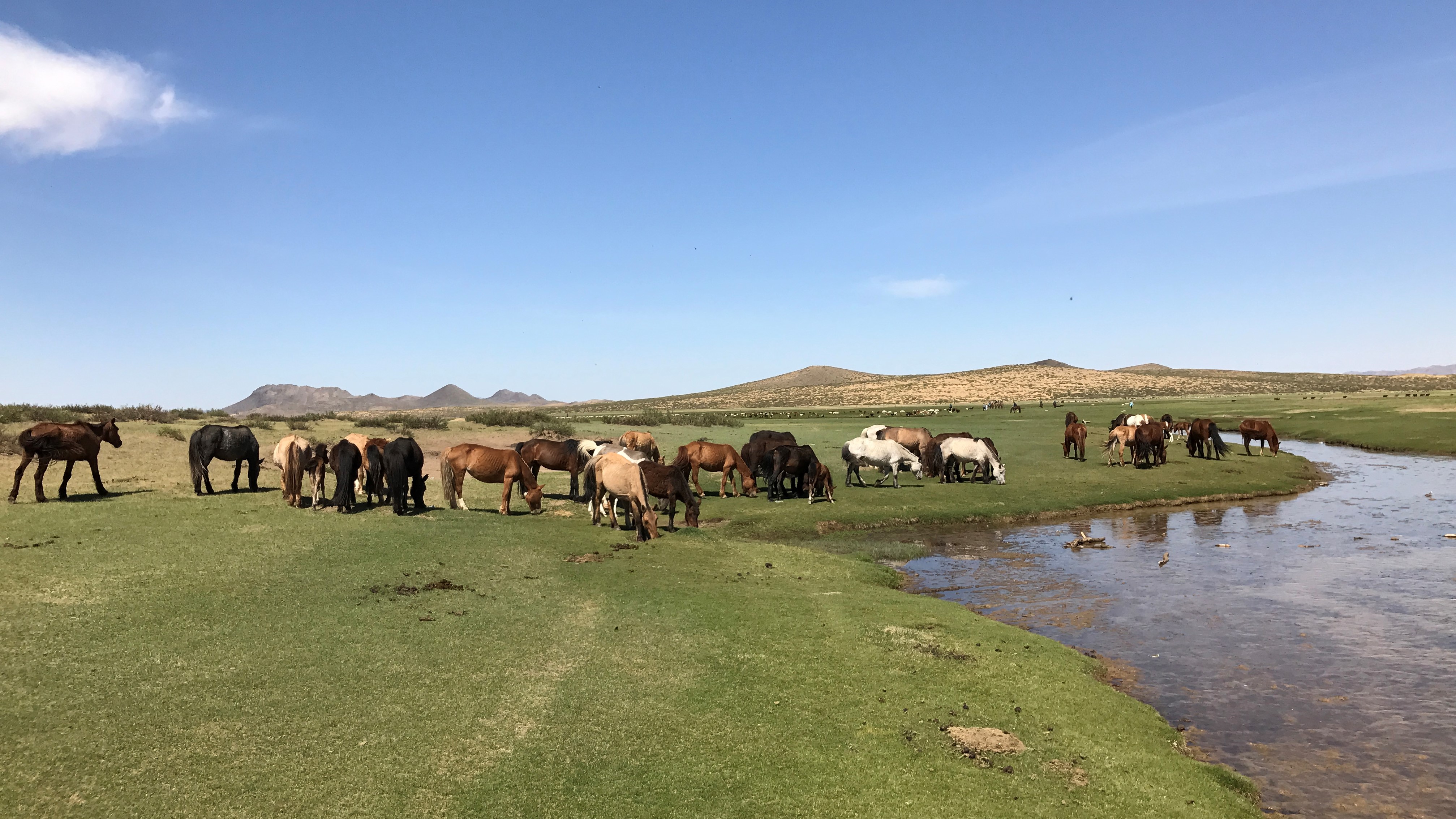
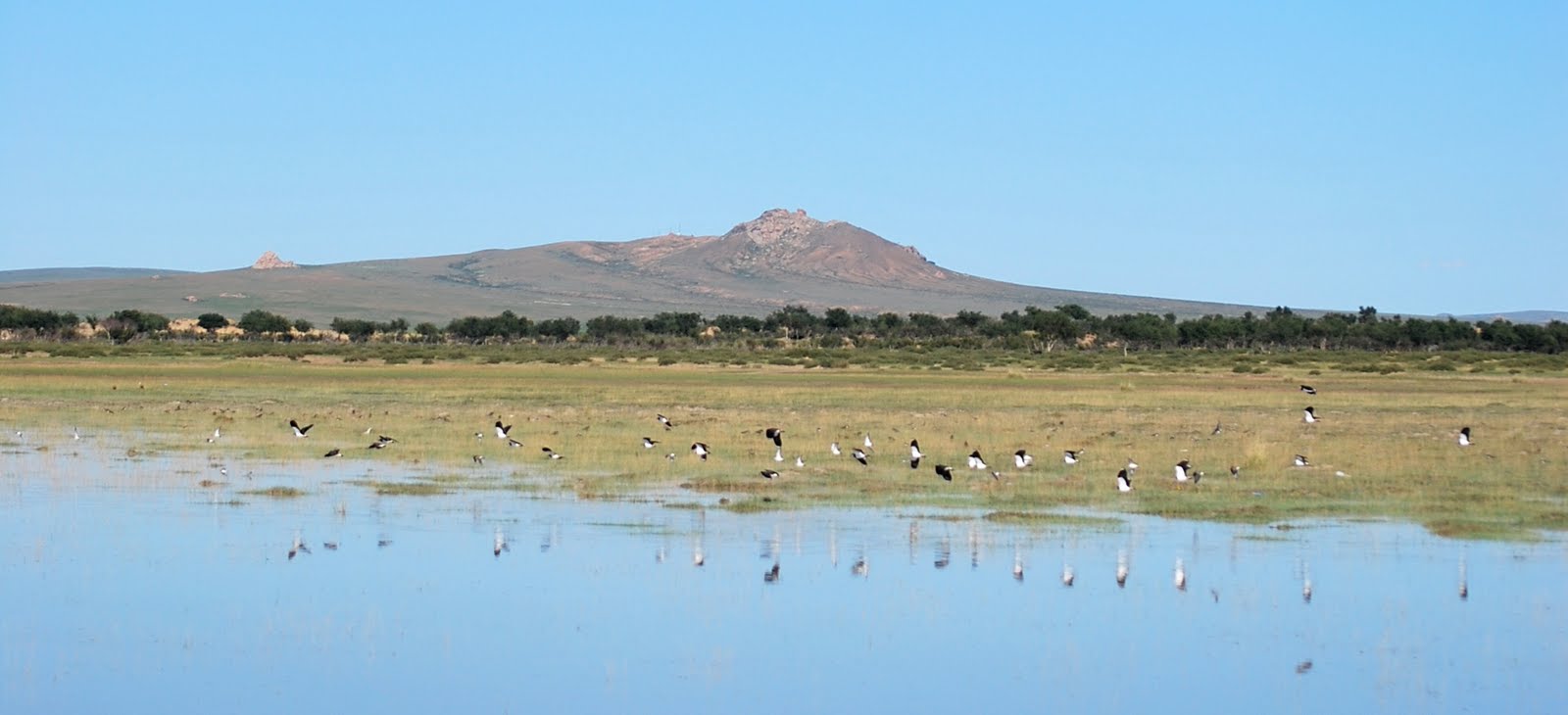
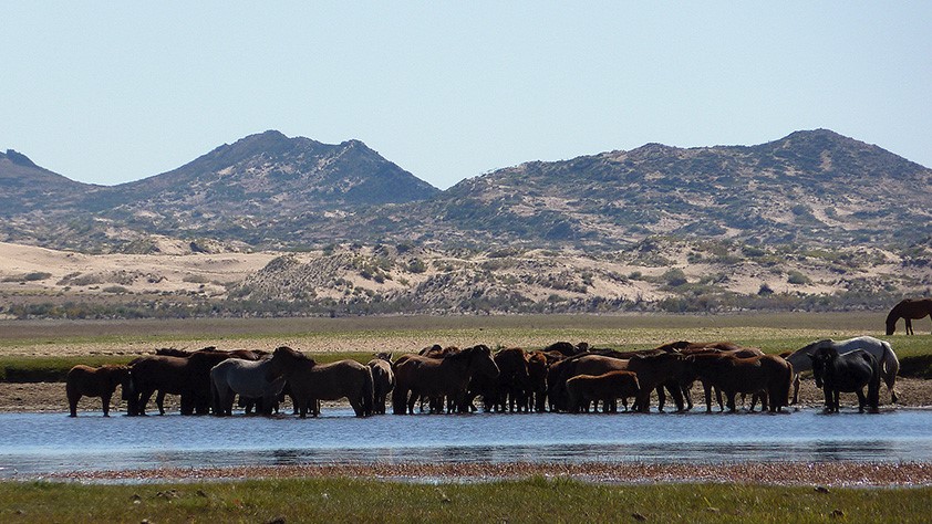
Between sand dunes, semi-volcanic rocks and green steppes, the flight of egrets and cranes residing at the lake stands out against the blue sky. The herds and flocks of numerous nomadic farmers settled in the region graze nearby. With a bit of luck, you might catch a glimpse of a red deer (Cervus elaphus), a Mongolian gazelle, a Daurian partridge and many more around the lake… It is an ideal place for a refreshing break after a day excursion in the sand dunes as well as for a conscious walk at sunrise or sunset, or even for a day of fauna and flora observation.
![]() Our Map System: 47° 15’55”N 103° 50’50”E
Our Map System: 47° 15’55”N 103° 50’50”E


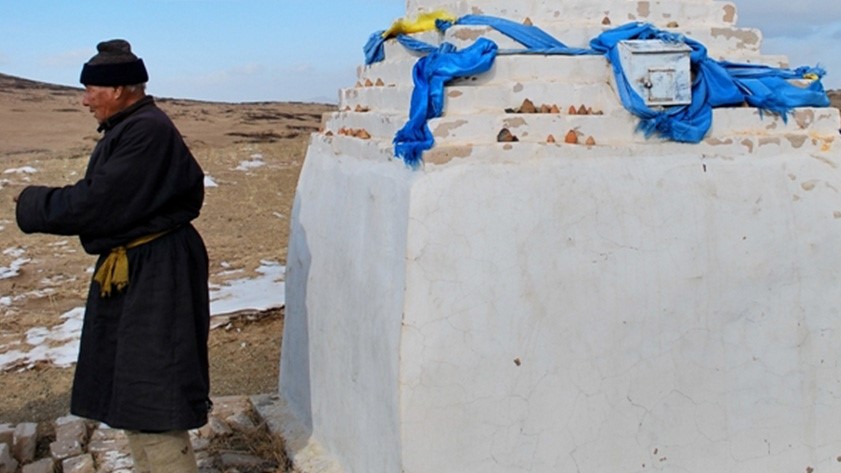
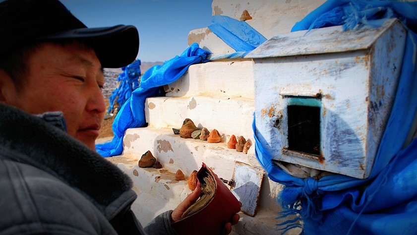
In the Centre of Mongolia
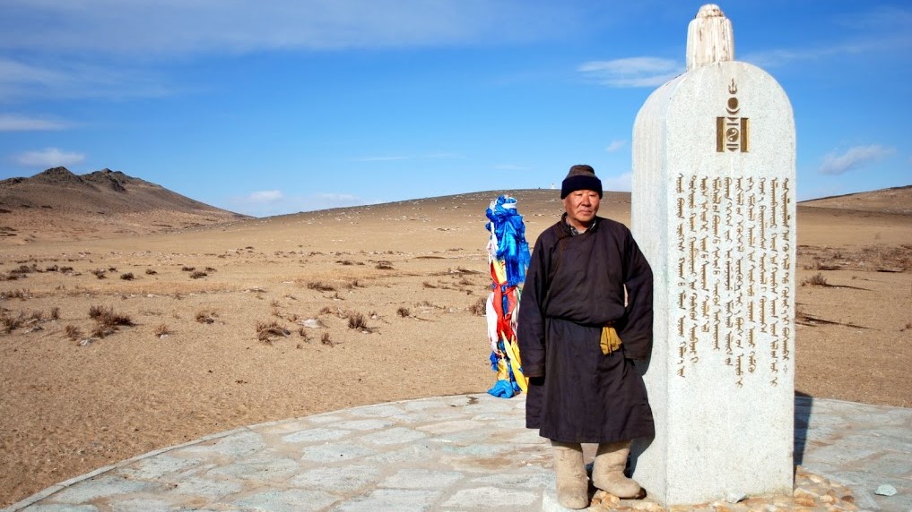
Not far from the Ovor Khoshoot source, on the place where the coordinates reach 46°51’52” North latitude and 103°49’49” East longitude, we find ourselves at the geographic centre of Mongolia, a fact established by Sh. Shagdar in 1979. For those of you who are addicted to digital communication and unable to disconnect during your trip, this is the time to tweet your geographical position to your friends or to take out your cameras for a pic in front of the stupa indicating the location. In 1997, a 8,2 km² protected zone was established around the area.
![]() Our Map System: 46°51’52”N 103°49’49”E
Our Map System: 46°51’52”N 103°49’49”E


Queen Mandukhaï ‘s Memorial
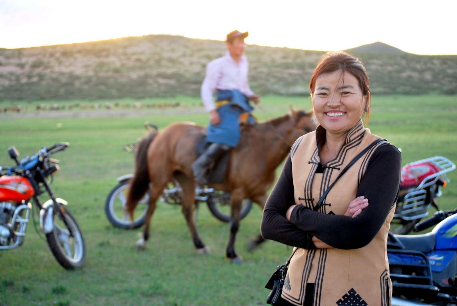
A strong headed woman and an emblematic female figure of Mongolia, Queen Mandukhai embodies to this today the strength of Mongolian women. Strong women striding along the streets of Ulaanbaatar or across the wide steppe, conducting their business and taking care of their homes with decisive determination.
Queen Mandukhai was the wife of Manduul Khan who died in 1478. After her husband’s death, she took under her protection Batu-Möngke, only a child at that time, who was Manduul Khan’s great-grandnephew and Genghis Khan’s grandson, now the descendant of the Kublaï Khan line. Batu-Möngke’s father was killed during a fratricidal war with Emperor Manduul. Queen Mandukhai enthroned the young child and made him emperor under the name of Dayan Khan. While being the Regent, she ensured the supremacy of the Khalkha tribes over the Oïrats who had ruthlessly ruled over Mongolia since the reign of Toghon and his son Esen Taidji.
Queen Mandukhai’s main achievement is the unification of Mongolian tribes by restoring the Genghis Khan’s line to the throne that was weakened since the beginning of the 15th century by internal wars. There is a famous film from 1987 called Mandukhaï Setsen Khatan, “Queen Mandukhai the Wise”, based on a short story by Ts. Natsagdorj, that tells about her life and deeds. Her legacy was continued by Altan Khan, Dayan Khan’s grand-son. He extended the Mongolian Empire at the end of the 16th century as far as Lake Baikal in the West and the Great Wall of China in the East, renewing once again the Golden Age of Genghis Khan and Kublai Khan.
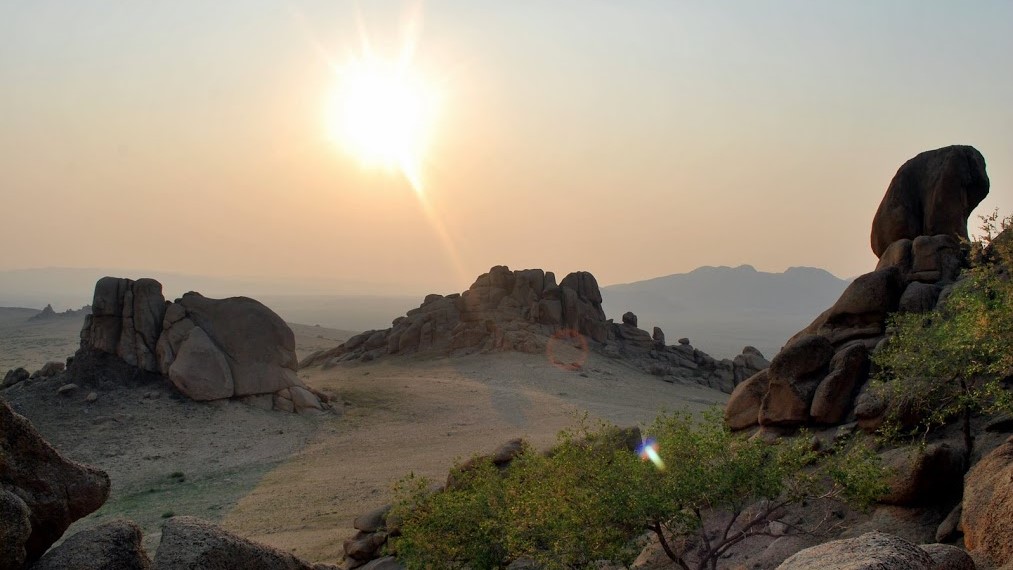
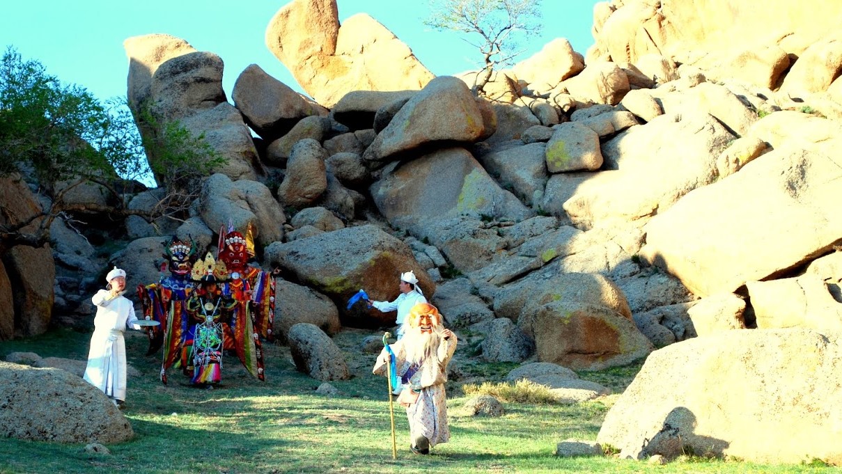
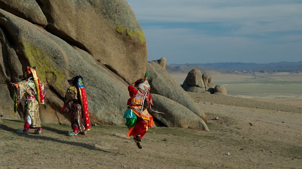
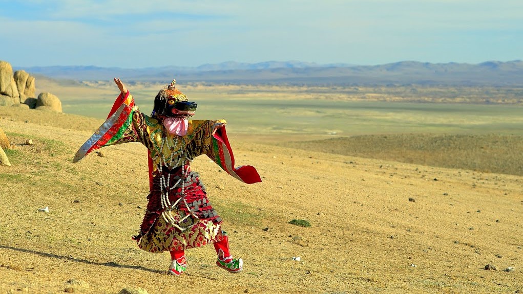
A stele commemorating Queen Mandukhai was erected during the shooting of the Queen Mandukhai the Wise movie on the place where she led the re-united Khalkha tribes into a battle against the Manchus, and reached a peace accord among the tribes of central Mongolia. At sunset, for a moment of story-telling and dressed up in traditional Mongolian clothes, the OONH Concierge Service will serve you tea and cakes at the foot of magnificent rock formations adjoining the stele.


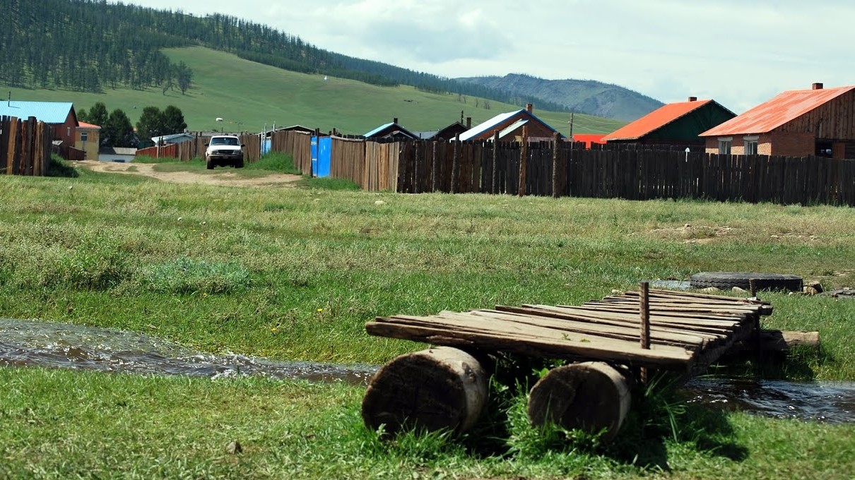
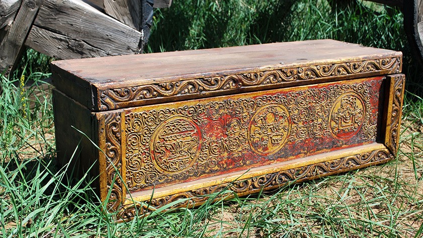
Burd Village and Museum / Burd Sum
Located 136 km to the north from Arvaïkher, the regional capital, and 334 km to the west from Ulaanbaatar, the village of Burd is one of the 19 sums (administrative division of 2nd level) of the Ovorkhangay region. Burd sum stretches out on 2581 km² and is divided into 5 bags (sub-divisions of sum). It counts 3000 inhabitants and a little over 200 000 heads of livestock. Don’t forget to visit the Burd museum where Stalinist and Buddhist art cohabit in the greatest of contrasts.
![]() Our Map System: 46°58’57”N 103°47’07”E
Our Map System: 46°58’57”N 103°47’07”E

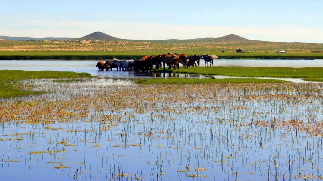
Oguii Lake / Oguii nuur
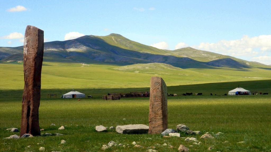
Located at an altitude of 1337 metres, Oguii Nuur is a fresh water lake with a 25km² surface area classified as a RAMSAR zone (humid zone of international importance) for the richness of its fauna. A number of fish species live in the lake, including perch, pike, shadow fish and carp – its annual fishing yield capacity is one ton! But there are also great many migrating birds to be found around the lake from the end of April till September, such as cranes and ducks, swan geese – an endangered species, Eurasian spoonbills, or Dalmatian pelicans.
Ruins of the Shilin Monastery (Shilin Khiid) can be found to the west of the lake dating back to the 17th century. Further away, on the road towards Karakorum, 25 km to the south, two monoliths are raised on the place known as the Khosoo Tsaidam site. These are two Turkish steles, funerary monuments built to the glory of the princes and brothers Bilge Khan (716-734) and Kultegin (685-731).
![]() Our Map System: 47°47’08”N 102°48’58”E
Our Map System: 47°47’08”N 102°48’58”E

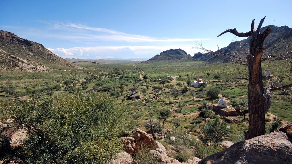
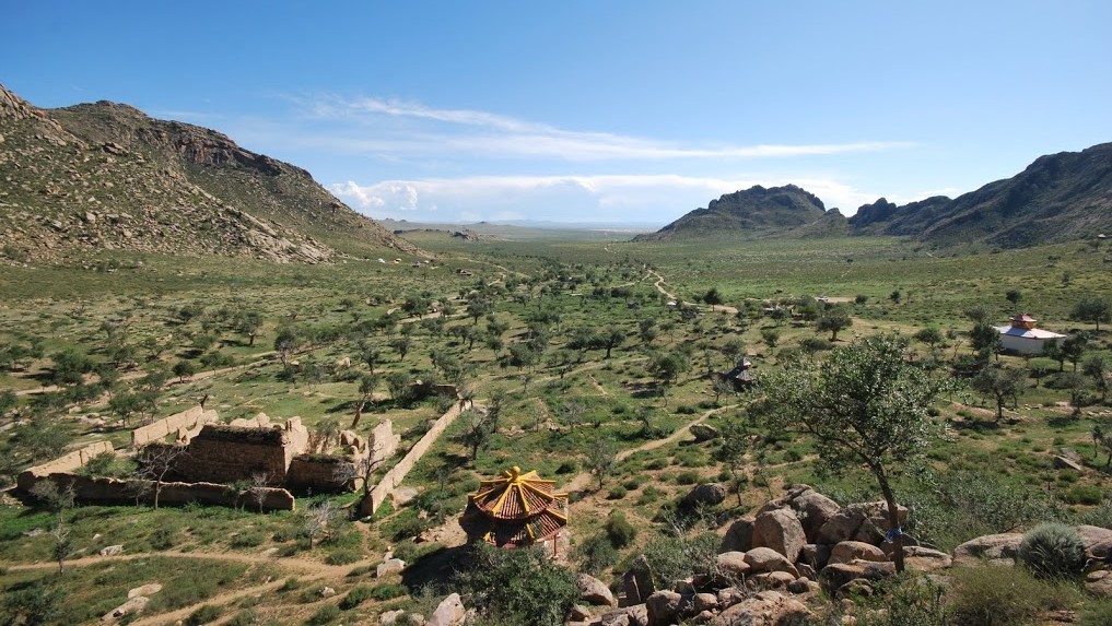
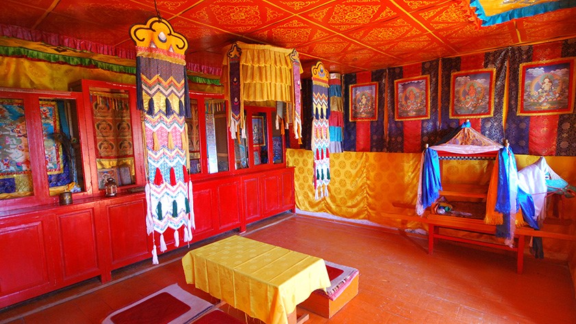
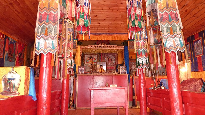
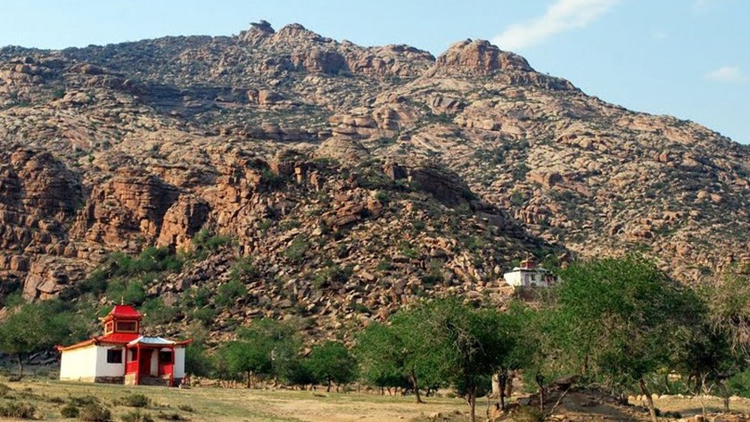
Erdene Khamba & Ovgön Monasteries / Khambiin khiid & Övgön khiid
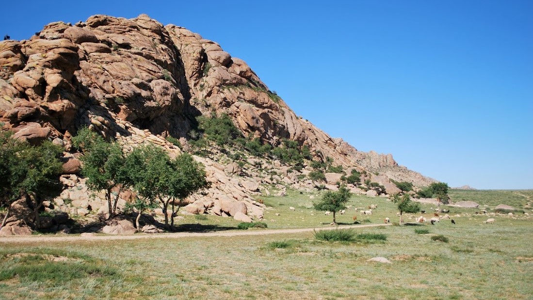
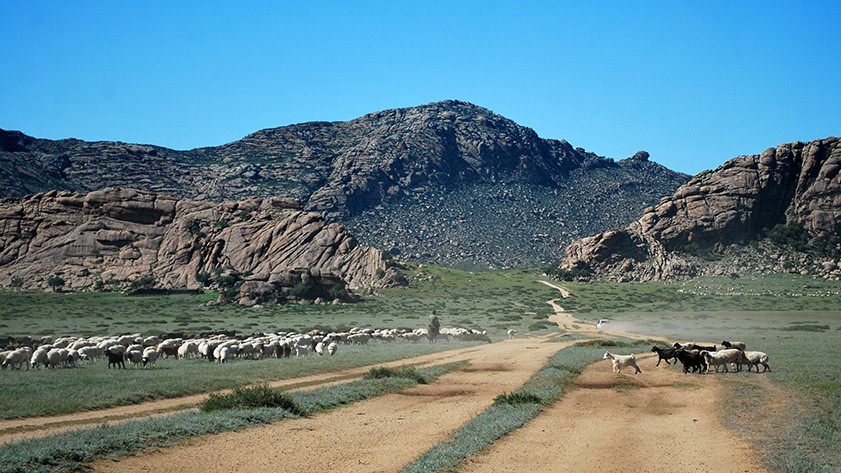
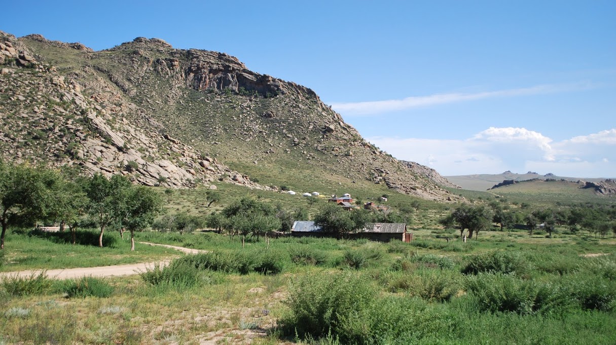
At the foot of the sacred mounts of Khögnö Khan, which rise to 1967 metres, the Erdene Khamba Monastery welcomes the guests for some peaceful moments of meditation. Partly restored in the early 90s after the end of the communist regime in Mongolia, it is composed of three buildings virtually hanging from the hill slope – a temple where services are celebrated and two pagodas. One houses an imposing stone mill, the other is dedicated to a divinity believed to grant wishes.
Erdene Khamba stands on the ruins of an older monastery founded by Zanabazar. The first Bogdo Gegeen*, spiritual and political chief of Mongolia, Zanabazar was born in 1635 at Shireet Tsagaan Nuur, a few kilometres away from here. Identified as a saint, he was educated and brought up in Tibet in Lamaism, one of the Buddhist traditions developed in the 13th century. He became the first representative of the yellow hat sect in Mongolia, which was a reformative current of Buddhism that gave special importance to the monastic way of life and to the scholarly approach to religion. Thus, when Zanabazar returned to Mongolia, he founded dozens of monasteries including Erdene Khamba which he built in tribute to his dear tutor. As for the monastery’s name, Khamba refers to a monastic title, and Erdene means treasure, jewel, or beloved. The monastery was destroyed for the first time by Galdan Boshigt, a rival of Zanabazar from the Oïrat tribe. Oirats were the western or “forest” Mongolians who belonged to a more ancient Buddhist sect from the 5th century, the red hat or wandering monks sect. The red hat sect was in a long-standing opposition to the Khalkhas, the oriental or “steppe” Mongolians, who sided with the yellow hat Buddhist tradition. Destroyed again during the Russian purge at the beginning of the 20th century, the Erdene Khamba Monastery is now looked after by a Buddhist sister.
Less than a one hour walk from Erdene Khamba, on the heights of the Khögnö Khan mounts, you can find the ruins of the Övgön Monastery, also called the “ancient” monastery. Birch trees border the path leading here from which you can enjoy one of the most beautiful panorama view of the region. Built in 1640, the ancient monastery was restored by Zanabazar at the same time as he built the Erdene Khamba Monastery but the war between the red hats and the yellow hats, Oïrats and Khalkhas, was fatal to its existence. It was completely destroyed and the monks living there brutally massacred. It is said that they were hung on a rope as animals and castrated before being thrown off the cliff. The mountains surrounding the two monasteries were named after their bloody history: Khögnö Khan Uul or “the sacred mountain of the castrated”, khögnö meaning castrated and khan sacred.
*Bogdo Gegeen means “saint / venerable light”. In the Buddhist yellow hat hierarchy, the Bogdo Gegeen is the third authority after the Panchen Lama and the Dalai-lama, the supreme authority. This title is only attributed to Mongolian representatives of Buddhist religion.
![]() Our Map System: 47°24’34”N 103°41’45”E
Our Map System: 47°24’34”N 103°41’45”E

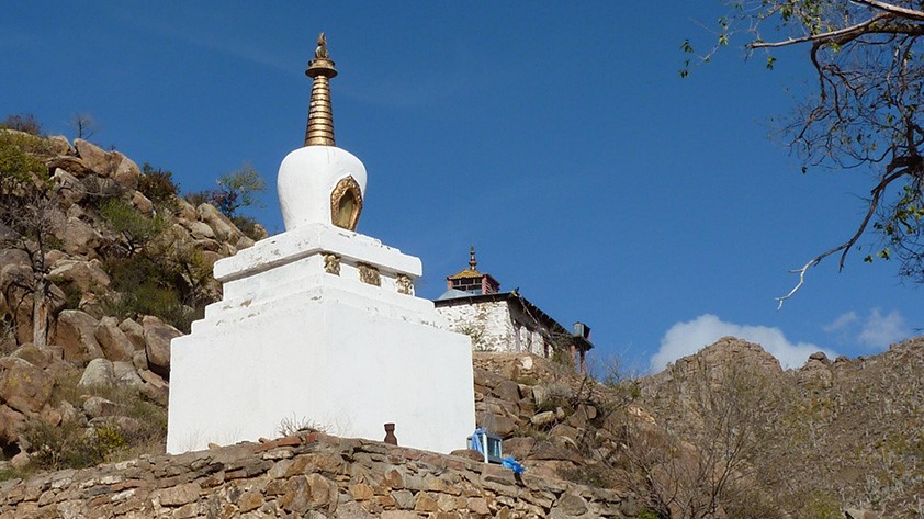
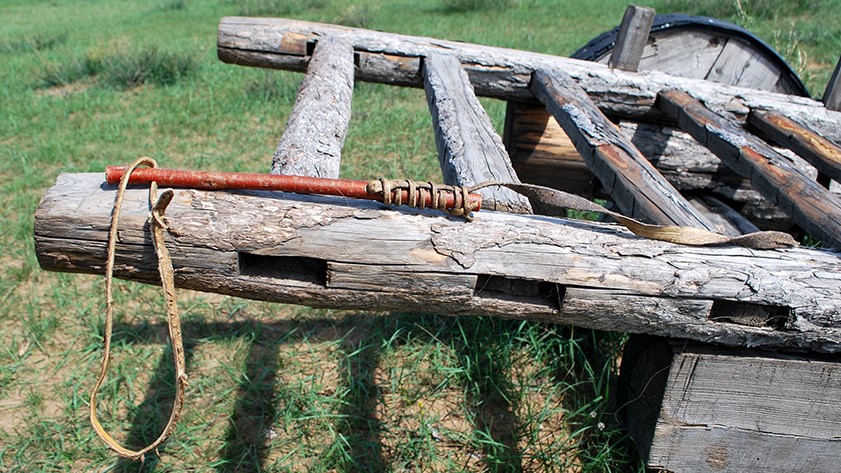
Shireet Tsagaan nuur / Former Location of the Nomadic Capital of «Urga»
Shireet Tsagaan Nuur. This is where Zanabazar was born in 1635, a learned man whose existence is inextricably linked to Mongolian political life of the 17th century and the foundation of the Mongolian nomadic capital of Urga. In the following centuries, the capital would move from its first location to its current location where it lost its original name “Urga” in 1924 and, under the Russian influence, adopted the name of Ulaanbaatar or red hero, “ulaan” meaning red.
It is from Urga that Zanabazar, the first Bogdo Gegeen, spiritual and political leader of Mongolia, equal and “brother” to the Dalai Lama in Tibet, spread his influence and modeled the landscapes of the Ovokhangay region as well as of further parts of today’s Mongolia by building a great number of monasteries. Zanabazar is said to have been a manifestation of « Manjusri», the noble and gentle one, Bodhisattva embodiment of prajna (intelligence). At the age of 14, he was declared saint by his grandfather Gombodorj, and he was assigned 14 past lives that go back to one of Sakyamuni’s disciples. His life unfolded in a key moment of Mongolian history: The country was torn between Oirats and Khalkas, two ethnic groups that were engaged in a long-standing fight against each other. Too weak to face the enemy alone, he asked for the Manchu dynasty’s help with whom he shared religious beliefs. Thus he set the cat among the pigeons, establishing two centuries of foreign domination. He died in Beijing in 1732. We owe him the creation of the Soyombo script from which the emblamatic Soyombo symbol, placed on the Mongolian flag since 1921, originates.
In 1930, a commemorative stupa of the ancient capital was erected in Shireet Tsagaan Nuur. It was destroyed during the purges and built again in 1997. On the place of the ancient capital Urga, there are three small lakes surrounded by Mongolian Els dunes and mountains. The place is very typical of the Gobi and Khangay, with sand dunes, lizards, cuckoos in the trees, herds of deer in the surrounding grass and woods, as well as the omnipresent sacred scented juniper.
If you have the opportunity, visit also the Museum of Fine Arts in Ulanbaaatar called also the Zanabazar Museum in tribute to a man renowned for his influence on Mongolian culture.
![]() Our Map System: 47°09’20”N 103°54’35”E
Our Map System: 47°09’20”N 103°54’35”E